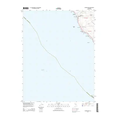
2015 Map of Saunders Reef
USGS Topo · Published 2015About this map
Gallaway sits atop the Mendocino County coastline, where the land meets the Pacific Ocean in a series of dramatic bluffs and submerged hazards. This maritime environment is defined by geological features like Saunders Reef and the prominent Sail Rock, which have historically dictated the movement of coastal traffic. The landscape is deeply incised by numerous coastal drainages, including Schooner Gulch and Hearn Gulch, which channel water from the interior toward the rocky shore.
Find a feature on this map
23 named features on this map. Tap any name to fly to it.
Don’t see what you’re looking for? This feature index may not catch every label — zoom into the map to look around manually.
Map Details
Editions of this 2015 Saunders Reef Map
This is the sole edition of this map. No revisions or reprints were ever made.
Other maps of this area

1943 · Point Arena
USGS Topo · 1:62,500

1947 · Santa Rosa
USGS Topo · 1:250,000

1949 · Santa Rosa
USGS Topo · 1:250,000

1958 · Santa Rosa
USGS Topo · 1:250,000

1960 · Saunders Reef
USGS Topo · 1:24,000
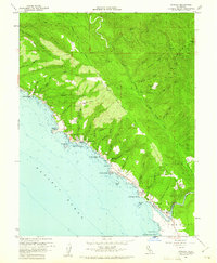
1960 · Gualala
USGS Topo · 1:24,000
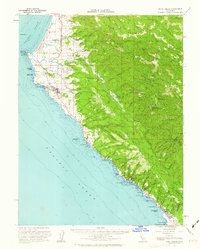
1960 · Point Arena
USGS Topo · 1:62,500
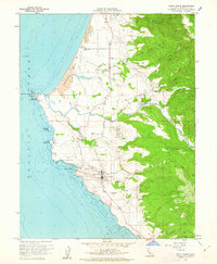
1960 · Point Arena
USGS Topo · 1:24,000
1962 · Santa Rosa
USGS Topo · 1:250,000
1964 · Santa Rosa
USGS Topo · 1:250,000