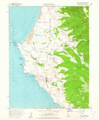
1960 Map of Point Arena
USGS Topo · Published 1962About this map
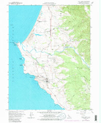
Point Arena and its prominent Lighthouse stand as the primary coastal sentinels on this 1960 Mendocino County survey. The landscape is defined by the sharp transition from the Pacific Ocean to the interior hills, marked by the sweeping curve of Manchester State Beach and the Garcia River as it reaches the sea. The map documents the layout of Manchester and the small settlement of Flumeville, alongside the Manchester (Point Arena) Rancheria. Significant maritime and aviation infrastructure is visible, including a Coast Guard Reservation, a Radio Facility, and an Airstrip. Local history is preserved through the labeling of family-named roads like Curley Lane and small community features such as the Cem near the river. The topography indicates a reliance on the coastal terrace for settlement, with inland movement limited by the steep drainages of Brush Creek and Alder Creek.
Find a feature on this map
36 named features on this map. Tap any name to fly to it.
Don’t see what you’re looking for? This feature index may not catch every label — zoom into the map to look around manually.
Map Details
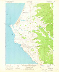
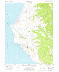
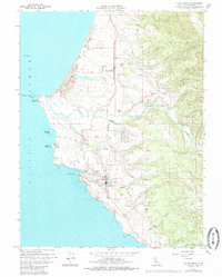
Editions of this 1960 Point Arena Map
5 editions found
Other maps of this area

1943 · Point Arena
USGS Topo · 1:62,500

1943 · Albion
USGS Topo · 1:62,500

1943 · Navarro
USGS Topo · 1:62,500

1944 · Saddle Point
USGS Topo · 1:62,500

1947 · Santa Rosa
USGS Topo · 1:250,000

1949 · Santa Rosa
USGS Topo · 1:250,000

1957 · Ukiah
USGS Topo · 1:250,000

1958 · Santa Rosa
USGS Topo · 1:250,000

1960 · Ukiah
USGS Topo · 1:250,000

1960 · Saunders Reef
USGS Topo · 1:24,000