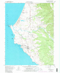
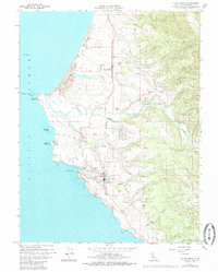
1960 Map of Point Arena
USGS Topo · Published 1985About this map
Point Arena stands as a prominent maritime landmark along this stretch of the Mendocino coast, defined by its historic Lighthouse and the specialized infrastructure of a Coast Guard Reservation. The landscape is a mix of coastal terrace and river valley, where the Garcia River winds toward the Pacific Ocean south of Manchester Beach. Inland, the settlements of Manchester and Flumeville are surrounded by a network of drainage creeks including Alder Creek, Spanish Creek, and Hathaway Creek. The map documents early-to-mid 20th-century coastal development, showing a Cem near the river, a Landing Strip, and a Loran Mast used for naval navigation. Topography shifts from the sea-level Arena Cove to the elevated ridges of View Mountain and Buckridge, illustrating how the local terrain dictated the placement of roads and the small ranching or timber-related outposts characteristic of this era.
Find a feature on this map
43 named features on this map. Tap any name to fly to it.
Don’t see what you’re looking for? This feature index may not catch every label — zoom into the map to look around manually.
Map Details
Editions of this 1960 Point Arena Map
5 editions found
Other maps of this area

1943 · Point Arena
USGS Topo · 1:62,500

1943 · Albion
USGS Topo · 1:62,500

1943 · Navarro
USGS Topo · 1:62,500

1944 · Saddle Point
USGS Topo · 1:62,500

1947 · Santa Rosa
USGS Topo · 1:250,000

1949 · Santa Rosa
USGS Topo · 1:250,000

1957 · Ukiah
USGS Topo · 1:250,000

1958 · Santa Rosa
USGS Topo · 1:250,000

1960 · Ukiah
USGS Topo · 1:250,000

1960 · Saunders Reef
USGS Topo · 1:24,000