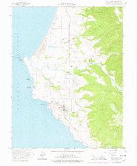
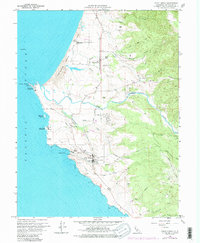
1960 Map of Point Arena
USGS Topo · Published 1978About this map
Point Arena sits at the edge of the Mendocino coast, serving as a focal point for maritime activity and rural settlement in this 1960s-era study. The iconic Point Arena Lighthouse and a Coast Guard Reservation anchor the prominent headland, while the village itself clusters near Arena Cove with its local Cem and industrial Borrow Pit. Further north, the landscape shifts toward the Garcia River delta and the inland community of Manchester, which borders the Manchester (Point Arena) Rancheria.
Find a feature on this map
38 named features on this map. Tap any name to fly to it.
Don’t see what you’re looking for? This feature index may not catch every label — zoom into the map to look around manually.
Map Details
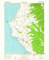
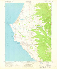
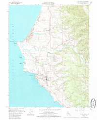
Editions of this 1960 Point Arena Map
5 editions found
Other maps of this area

1943 · Point Arena
USGS Topo · 1:62,500

1943 · Albion
USGS Topo · 1:62,500

1943 · Navarro
USGS Topo · 1:62,500

1944 · Saddle Point
USGS Topo · 1:62,500

1947 · Santa Rosa
USGS Topo · 1:250,000

1949 · Santa Rosa
USGS Topo · 1:250,000

1957 · Ukiah
USGS Topo · 1:250,000

1958 · Santa Rosa
USGS Topo · 1:250,000

1960 · Ukiah
USGS Topo · 1:250,000

1960 · Saunders Reef
USGS Topo · 1:24,000