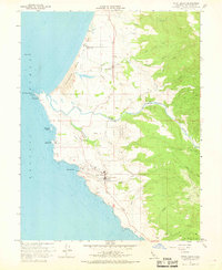
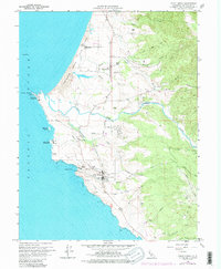
1960 Map of Point Arena
USGS Topo · Published 1968About this map
The Lighthouse at Point Arena stands as a prominent sentinel on this coastal Mendocino County survey, marking a jagged shoreline where the Pacific Ocean meets the northern California terrain. This era of the 1950s and 1960s captures the landscape before modern development, showing the coastal community and nearby Manchester connected by the winding Garcia River. Civil and maritime infrastructure is notably detailed, including a Coast Guard Reservation, a Loran Mast, and a dedicated Radio Facility, alongside local landmarks like the Cem and Flumeville. The mapping of Manchester Beach State Park and the Manchester (Point Arena) Rancheria illustrates the diverse land use, from public recreation and indigenous lands to the rural agricultural tracts surrounding Buckridge Creek and Hathaway Creek.
Find a feature on this map
41 named features on this map. Tap any name to fly to it.
Don’t see what you’re looking for? This feature index may not catch every label — zoom into the map to look around manually.
Map Details
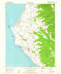
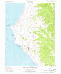
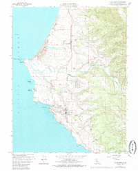
Editions of this 1960 Point Arena Map
5 editions found
Other maps of this area

1943 · Point Arena
USGS Topo · 1:62,500

1943 · Albion
USGS Topo · 1:62,500

1943 · Navarro
USGS Topo · 1:62,500

1944 · Saddle Point
USGS Topo · 1:62,500

1947 · Santa Rosa
USGS Topo · 1:250,000

1949 · Santa Rosa
USGS Topo · 1:250,000

1957 · Ukiah
USGS Topo · 1:250,000

1958 · Santa Rosa
USGS Topo · 1:250,000

1960 · Ukiah
USGS Topo · 1:250,000

1960 · Saunders Reef
USGS Topo · 1:24,000