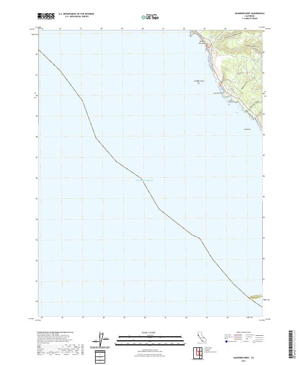
2021 Map of Saunders Reef
USGS Topo · Published 2021About this map
Saunders Reef and the dramatic Mendocino coastline anchor this geographic study, highlighting a landscape defined by jagged points and deep coastal drainages. The topography is dominated by numerous gulches that carve their way to the Pacific Ocean, including Schooner Gulch, Hearn Gulch, and Morrison Gulch. These features reflect the natural erosive power of the region, where seasonal waters from the North Fork Schooner Gulch and Shinglemill Gulch meet the sea.
Find a feature on this map
20 named features on this map. Tap any name to fly to it.
Don’t see what you’re looking for? This feature index may not catch every label — zoom into the map to look around manually.
Map Details
Editions of this 2021 Saunders Reef Map
This is the sole edition of this map. No revisions or reprints were ever made.
Other maps of this area
1943 · Point Arena
USGS Topo · 1:62,500

1947 · Santa Rosa
USGS Topo · 1:250,000
1949 · Santa Rosa
USGS Topo · 1:250,000
1958 · Santa Rosa
USGS Topo · 1:250,000
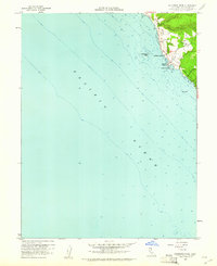
1960 · Saunders Reef
USGS Topo · 1:24,000
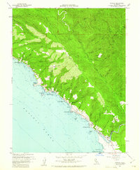
1960 · Gualala
USGS Topo · 1:24,000
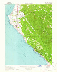
1960 · Point Arena
USGS Topo · 1:62,500
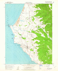
1960 · Point Arena
USGS Topo · 1:24,000
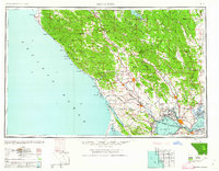
1962 · Santa Rosa
USGS Topo · 1:250,000
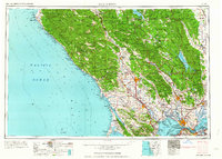
1964 · Santa Rosa
USGS Topo · 1:250,000