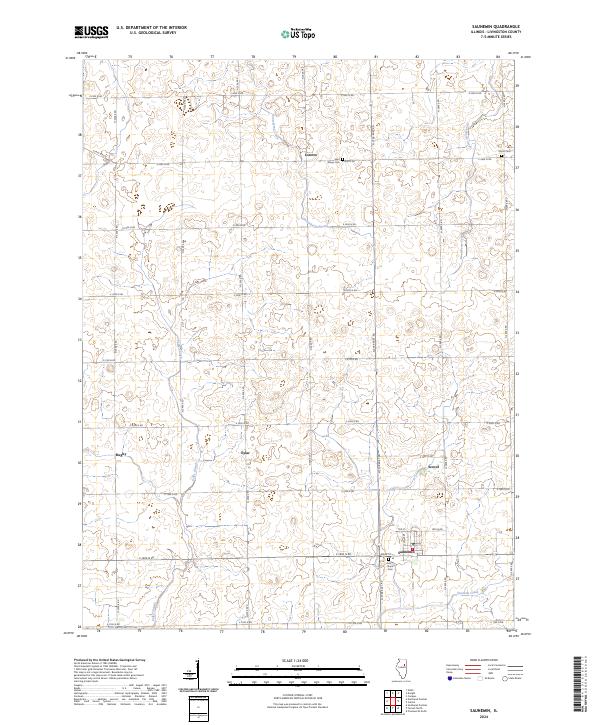
2024 Map of Saunemin
USGS Topo · Published 2024About this map
Saunemin anchors this central Illinois landscape, where the flat agricultural plains of Livingston County are organized by a rigid grid of rural roads. This contemporary study shows the enduring layout of the village, including streets like Tile St and Bramley St, alongside several small historic hamlets that continue to mark the prairie. Local history is etched into the terrain at Saint Marys Cem near Loretto and Sunny Slope Cem on the outskirts of the main settlement. The hydrology of the area is defined by winding watercourses such as Gooseberry Creek and Fivemile Creek, which cut through the rectilinear farm plots. Other named locales like Eylar, Rugby, and Scovel persist as identifiers for these rural crossroads, reflecting the early 20th-century settlement patterns that shaped the region's development.
Find a feature on this map
33 named features on this map. Tap any name to fly to it.
Don’t see what you’re looking for? This feature index may not catch every label — zoom into the map to look around manually.
Map Details
Editions of this 2024 Saunemin Map
This is the sole edition of this map. No revisions or reprints were ever made.
Other maps of this area

1935 · Pontiac
USGS Topo · 1:62,500

1939 · Pontiac
USGS Topo · 1:62,500

1947 · Cullom
USGS Topo · 1:62,500

1948 · Dwight
USGS Topo · 1:62,500

1949 · Cullom
USGS Topo · 1:62,500

1950 · Dwight
USGS Topo · 1:62,500

1958 · Odell
USGS Topo · 1:62,500

1958 · Aurora
USGS Topo · 1:250,000

1958 · Peoria
USGS Topo · 1:250,000

1961 · Aurora
USGS Topo · 1:250,000