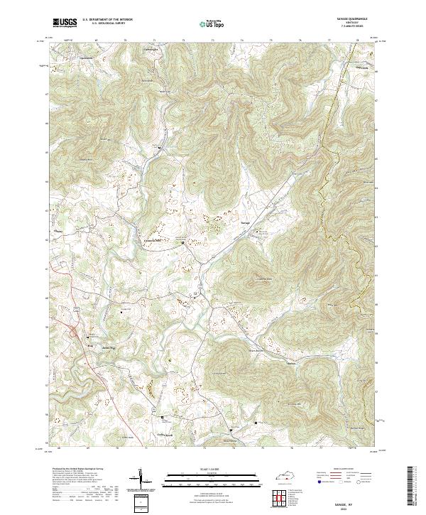
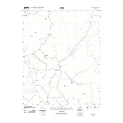
2022 Map of Savage
USGS Topo · Published 2022About this map
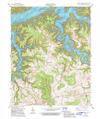
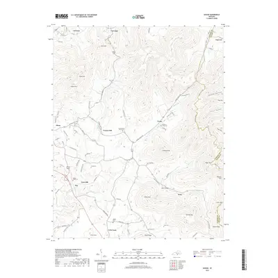
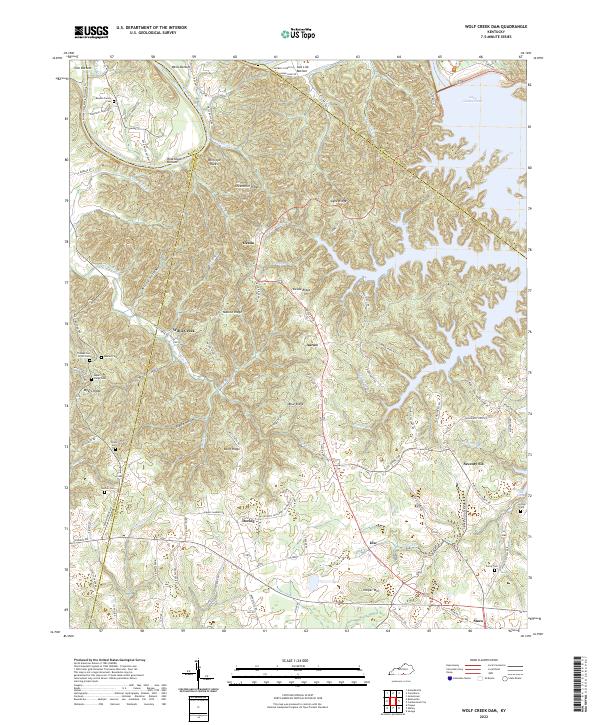
Sewell Mtn and Copperas Knob dominate the rugged landscape of this border region between Clinton and Wayne Counties. The area is defined by a series of narrow valleys and ridges, such as Duvall Valley and Russell Ridge, where small agricultural settlements like Savage and Rolan took root. The topographic data highlights a deep connection to family and community history, evidenced by numerous small burial grounds including Savage Cem, Irvin Cem, and Beaty Cem.
Find a feature on this map
89 named features on this map. Tap any name to fly to it.
Don’t see what you’re looking for? This feature index may not catch every label — zoom into the map to look around manually.
Map Details
Editions of this 2022 Savage Map
This is the sole edition of this map. No revisions or reprints were ever made.
Historical Maps of Albany Through Time
21 maps found
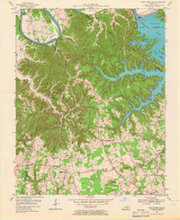
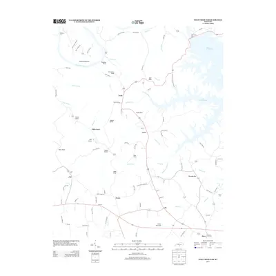
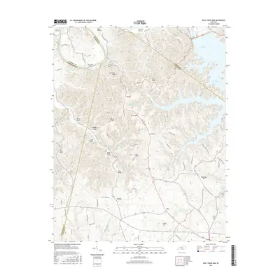
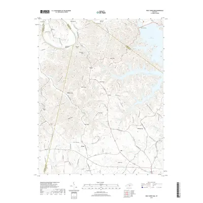
1953 Wolf Creek Dam
Clinton County, KY
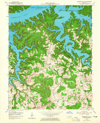
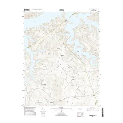
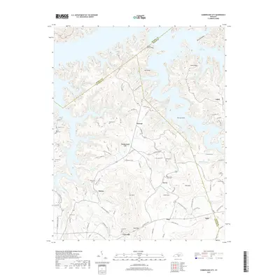
1954 Cumberland City
Clinton County, KY
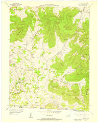
1954 Savage
Clinton County, KY
1978 Cumberland City
Clinton County, KY
1978 Savage
Clinton County, KY
1978 Wolf Creek Dam
Clinton County, KY
2010 Cumberland City
Clinton County, KY
2010 Savage
Clinton County, KY
2010 Wolf Creek Dam
Clinton County, KY
2013 Cumberland City
Clinton County, KY
2013 Savage
Clinton County, KY
2013 Wolf Creek Dam
Clinton County, KY
2016 Cumberland City
Clinton County, KY
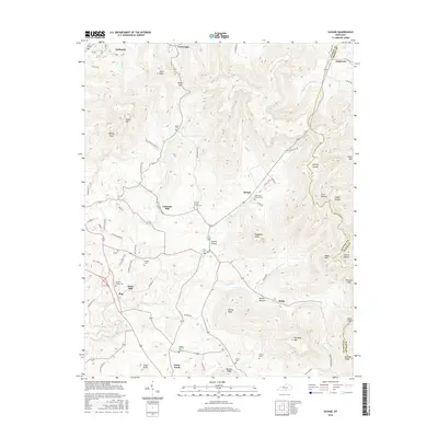
2016 Savage
Clinton County, KY
2016 Wolf Creek Dam
Clinton County, KY
2019 Cumberland City
Clinton County, KY
2019 Savage
Clinton County, KY
2019 Wolf Creek Dam
Clinton County, KY
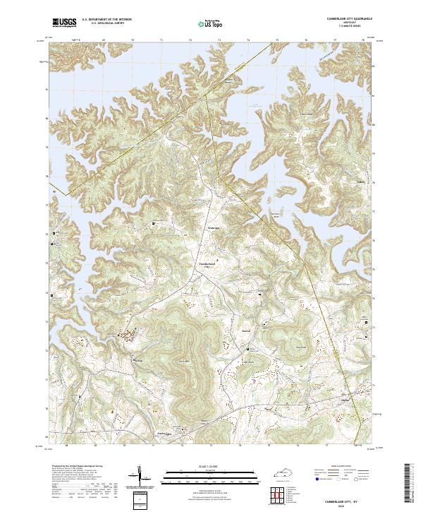
2022 Cumberland City
Clinton County, KY
2022 Savage
Clinton County, KY
2022 Wolf Creek Dam
Clinton County, KY