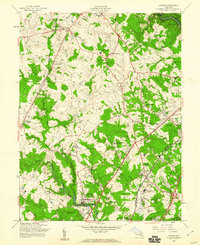
1957 Map of Savage
USGS Topo · Published 1960About this map
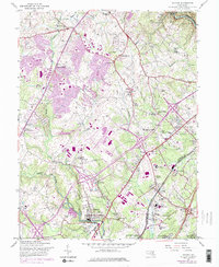
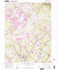
The Little Patuxent River and Middle Patuxent River converge north of Savage, shaping a landscape of mid-century Maryland crossroads and growing institutional footprints. This 1957 field-checked survey captures the area just as suburban development began to intersect with long-standing agricultural and industrial sites. To the south, the Laurel Harness Racing Track and the sprawling grounds of the Maryland House of Correction near Jessup anchor the map.
Find a feature on this map
60 named features on this map. Tap any name to fly to it.
Don’t see what you’re looking for? This feature index may not catch every label — zoom into the map to look around manually.
Map Details
Editions of this 1957 Savage Map
6 editions found
Other maps of this area

1892 · Laurel
USGS Topo · 1:62,500

1892 · Ellicott
USGS Topo · 1:62,500

1894 · Ellicott
USGS Topo · 1:62,500

1894 · Laurel
USGS Topo · 1:62,500

1894 · Baltimore
USGS Topo · 1:62,500

1894 · Relay
USGS Topo · 1:62,500

1897 · Laurel
USGS Topo · 1:62,500

1899 · Baltimore
USGS Topo · 1:62,500

1904 · Baltimore
USGS Topo · 1:62,500

1906 · Ellicott
USGS Topo · 1:62,500