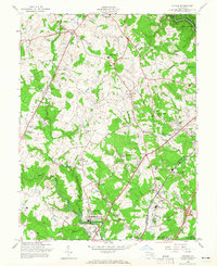
1957 Map of Savage
USGS Topo · Published 1965About this map
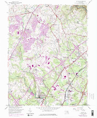
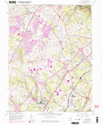
The Little Patuxent River and Middle Patuxent River converge south of Guilford, shaping a landscape of mid-century suburban expansion and established institutional grounds. This 1957 field-checked map records the area before the full-scale development of the modern planned city at Columbia, showing earlier settlements like Oakland Mills and Simpsonville alongside major transit corridors like the Balt.-Wash. Pkwy. and the Baltimore and Ohio RR.
Find a feature on this map
61 named features on this map. Tap any name to fly to it.
Don’t see what you’re looking for? This feature index may not catch every label — zoom into the map to look around manually.
Map Details
Editions of this 1957 Savage Map
6 editions found
Other maps of this area

1892 · Laurel
USGS Topo · 1:62,500

1892 · Ellicott
USGS Topo · 1:62,500

1894 · Ellicott
USGS Topo · 1:62,500

1894 · Laurel
USGS Topo · 1:62,500

1894 · Baltimore
USGS Topo · 1:62,500

1894 · Relay
USGS Topo · 1:62,500

1897 · Laurel
USGS Topo · 1:62,500

1899 · Baltimore
USGS Topo · 1:62,500

1904 · Baltimore
USGS Topo · 1:62,500

1906 · Ellicott
USGS Topo · 1:62,500