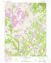
1957 Map of Savage
USGS Topo · Published 1976About this map
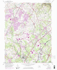
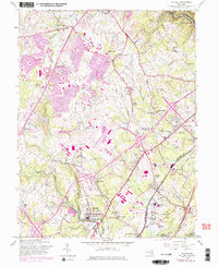
The Little Patuxent River and its various tributaries define this mid-century landscape of Howard and Anne Arundel Counties. This 1957 survey, updated with purple revisions from 1966 and 1974, documents the early expansion of Columbia and Oakland Mills against an older network of crossroads settlements. The map highlights a concentration of institutional and specialized sites, including the FCC Monitoring Station near Guilford, the Maryland House of Correction in Jessup, and the Womens Prison. Local community life is anchored by numerous spiritual and civic landmarks like Maple Grove Ch, Wesley Chapel, and the Old Guilford Sch. Unique land uses appear throughout the quadrangle, from the Laurel Harness Racing Track in the south to the Rosa Bonheur Pet Cemetery near Wesley Grove. The corridor is further shaped by the infrastructure of the Baltimore And Ohio railroad and the edges of Fort George G Meade Military Res.
Find a feature on this map
61 named features on this map. Tap any name to fly to it.
Don’t see what you’re looking for? This feature index may not catch every label — zoom into the map to look around manually.
Map Details
Editions of this 1957 Savage Map
6 editions found
Other maps of this area

1892 · Laurel
USGS Topo · 1:62,500

1892 · Ellicott
USGS Topo · 1:62,500

1894 · Ellicott
USGS Topo · 1:62,500

1894 · Laurel
USGS Topo · 1:62,500

1894 · Baltimore
USGS Topo · 1:62,500

1894 · Relay
USGS Topo · 1:62,500

1897 · Laurel
USGS Topo · 1:62,500

1899 · Baltimore
USGS Topo · 1:62,500

1904 · Baltimore
USGS Topo · 1:62,500

1906 · Ellicott
USGS Topo · 1:62,500