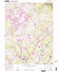
1957 Map of Savage
USGS Topo · Published 1976About this map
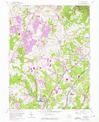
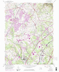
The Little Patuxent River and Middle Patuxent River converge south of Guilford, shaping a landscape defined by significant state institutions and expanding mid-century infrastructure. This 1957 edition, with purple revisions from 1966 and 1974, documents the early development of Columbia and the surrounding Maryland countryside. The presence of the Maryland House of Correction, the Womens Prison, and the Patuxent Institution near Jessup underscores the area's role in public administration. For genealogists and local historians, the map is a remarkable record of rural heritage, featuring numerous country houses of worship like Kings Apostle Ch and Wesley Chapel, alongside unique landmarks such as the Rosa Bonheur Pet Cemetery. The transit network is prominently displayed, showing the Baltimore-Washington Parkway bisecting the region and the Baltimore And Ohio railroad serving industrial and residential hubs like Savage and Dorsey.
Find a feature on this map
64 named features on this map. Tap any name to fly to it.
Don’t see what you’re looking for? This feature index may not catch every label — zoom into the map to look around manually.
Map Details
Editions of this 1957 Savage Map
6 editions found
Other maps of this area

1892 · Laurel
USGS Topo · 1:62,500

1892 · Ellicott
USGS Topo · 1:62,500

1894 · Ellicott
USGS Topo · 1:62,500

1894 · Laurel
USGS Topo · 1:62,500

1894 · Baltimore
USGS Topo · 1:62,500

1894 · Relay
USGS Topo · 1:62,500

1897 · Laurel
USGS Topo · 1:62,500

1899 · Baltimore
USGS Topo · 1:62,500

1904 · Baltimore
USGS Topo · 1:62,500

1906 · Ellicott
USGS Topo · 1:62,500