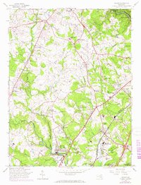
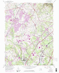
1957 Map of Savage
USGS Topo · Published 1967About this map
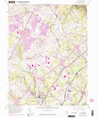
Savage and Jessup anchor this landscape during a period of significant institutional and residential expansion along the Baltimore-Washington Parkway. The map reveals a dense network of civic and religious life, from the Pallottine Mission House to numerous local congregations like Wesley Chapel and Asbury Ch. The southern portion of the sheet is dominated by state and federal facilities, including the Maryland House of Correction, the Womens Prison, and the northern edge of Fort George G Meade Military Res.
Find a feature on this map
67 named features on this map. Tap any name to fly to it.
Don’t see what you’re looking for? This feature index may not catch every label — zoom into the map to look around manually.
Map Details
Editions of this 1957 Savage Map
6 editions found
Other maps of this area

1892 · Laurel
USGS Topo · 1:62,500

1892 · Ellicott
USGS Topo · 1:62,500

1894 · Ellicott
USGS Topo · 1:62,500

1894 · Laurel
USGS Topo · 1:62,500

1894 · Baltimore
USGS Topo · 1:62,500

1894 · Relay
USGS Topo · 1:62,500

1897 · Laurel
USGS Topo · 1:62,500

1899 · Baltimore
USGS Topo · 1:62,500

1904 · Baltimore
USGS Topo · 1:62,500

1906 · Ellicott
USGS Topo · 1:62,500