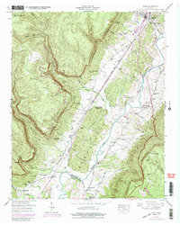
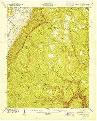
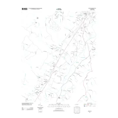
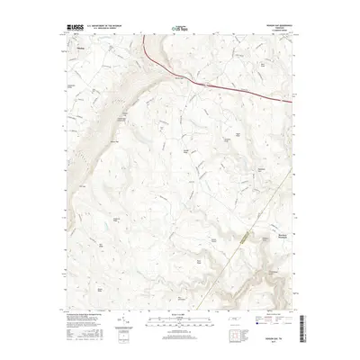
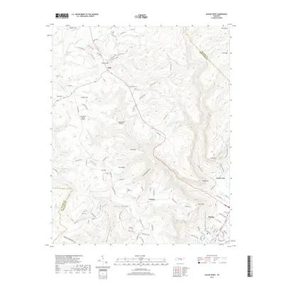
1947 Map of Savage Point
USGS Topo · Published 1948About this map
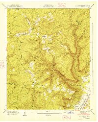
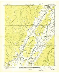
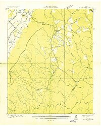
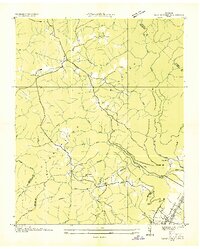
Dunlap anchors the southeastern corner of this survey, situated where the Sequatchie Valley meets the dramatic rising slopes of the Cumberland Plateau. The landscape is defined by the sharp topographical contrast between the fertile valley floor and the plateau heights, marked by prominent landmarks like Savage Point and Signal Point. On the high ground, the Divide separates various drainage systems, including Big Brush Creek and Little Brush Creek.
Find a feature on this map
60 named features on this map. Tap any name to fly to it.
Don’t see what you’re looking for? This feature index may not catch every label — zoom into the map to look around manually.
Map Details
Editions of this 1947 Savage Point Map
This is the sole edition of this map. No revisions or reprints were ever made.
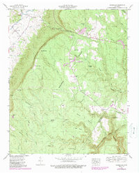
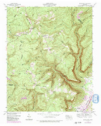
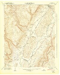
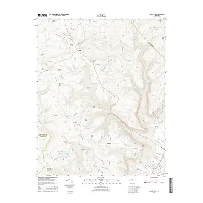
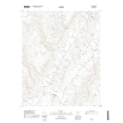
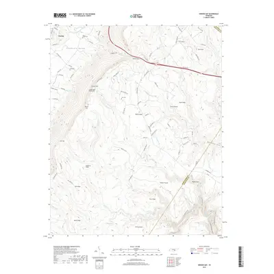
Historical Maps of Dunlap Through Time
24 maps found
1936 Daus
Sequatchie County, TN
1936 Henson Gap
Sequatchie County, TN
1936 Savage Point
Sequatchie County, TN
1946 Daus
Sequatchie County, TN
1946 Henson Gap
Sequatchie County, TN
1946 Savage Point
Sequatchie County, TN
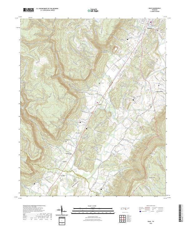
1947 Daus
Sequatchie County, TN
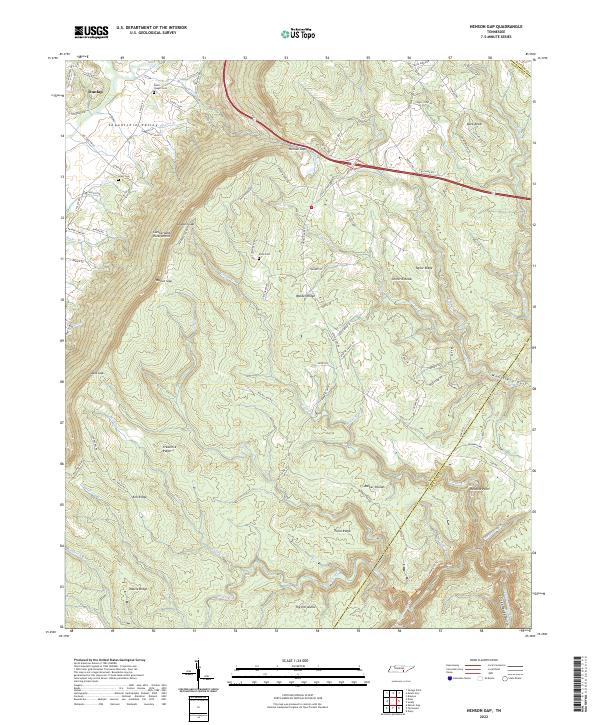
1947 Henson Gap
Sequatchie County, TN
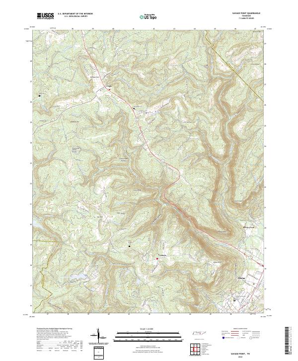
1947 Savage Point
Sequatchie County, TN
2010 Daus
Sequatchie County, TN
2010 Henson Gap
Sequatchie County, TN
2010 Savage Point
Sequatchie County, TN
2013 Daus
Sequatchie County, TN
2013 Henson Gap
Sequatchie County, TN
2013 Savage Point
Sequatchie County, TN
2016 Daus
Sequatchie County, TN
2016 Henson Gap
Sequatchie County, TN
2016 Savage Point
Sequatchie County, TN
2019 Daus
Sequatchie County, TN
2019 Henson Gap
Sequatchie County, TN
2019 Savage Point
Sequatchie County, TN
2022 Daus
Sequatchie County, TN
2022 Henson Gap
Sequatchie County, TN
2022 Savage Point
Sequatchie County, TN