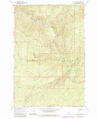
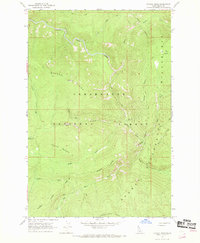
1966 Map of Savage Ridge
USGS Topo · Published 1984About this map
White Sand Creek and its many tributaries, including Storm Creek and Crab Creek, define the complex drainage system of this Idaho backcountry during the mid-1960s. The landscape is characterized by prominent high ground such as Savage Ridge and Tamarack Mountain, which serve as natural anchors within the Clearwater National Forest. A lone Lookout stands along the crest of Savage Ridge, overlooking a network of primitive transportation routes marked by the Pack Trail system.
Find a feature on this map
21 named features on this map. Tap any name to fly to it.
Don’t see what you’re looking for? This feature index may not catch every label — zoom into the map to look around manually.
Map Details
Editions of this 1966 Savage Ridge Map
2 editions found
Other maps of this area

1901 · Hamilton
USGS Topo · 1:125,000

1911 · Lolo
USGS Topo · 1:250,000

1912 · Missoula
USGS Topo · 1:125,000

1913 · Lolo
USGS Topo · 1:250,000

1956 · Hamilton
USGS Topo · 1:250,000

1959 · Hamilton
USGS Topo · 1:250,000

1960 · Hamilton
USGS Topo · 1:250,000

1964 · Hamilton
USGS Topo · 1:250,000

1964 · Rocky Point
USGS Topo · 1:24,000

1964 · Roundtop
USGS Topo · 1:24,000