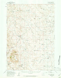
1959 Map of Savageton
USGS Topo · Published 1961About this map
Pumpkin Buttes anchor this high plains landscape of Campbell County, where the cattle-ranching economy of the late 1950s is meticulously documented through an extensive network of named family ranches and homesteads. The small settlement of Savageton serves as a local hub, supported by the St Francis Ch, a local Cem, and the Schlautmann School. Water management in this arid environment is evident through the naming of numerous drainages and the presence of an Artesian Well and the Pumpkin Creek Reservoir. This survey captures a specific era of Western land use, marking sites like the Gilkie Ranch (Aband) alongside active operations like the Saunders Ranch and Jordan Ranch. Numerous mines and unimproved roads crossing Hartzog Draw and Willow Creek trace the early industrial and transit footprints of the region.
Find a feature on this map
59 named features on this map. Tap any name to fly to it.
Don’t see what you’re looking for? This feature index may not catch every label — zoom into the map to look around manually.
Map Details
Editions of this 1959 Savageton Map
2 editions found

Other maps of this area

1953 · Dry Fork Ranch
USGS Topo · 1:24,000

1953 · Fort Reno SE
USGS Topo · 1:24,000

1953 · Savageton
USGS Topo · 1:24,000

1953 · Fats Draw
USGS Topo · 1:24,000

1953 · South Butte
USGS Topo · 1:24,000

1953 · The Nipple
USGS Topo · 1:24,000

1953 · Rolling Pin Ranch
USGS Topo · 1:24,000

1953 · North Butte
USGS Topo · 1:24,000

1954 · Gillette
USGS Topo · 1:250,000

1955 · Newcastle
USGS Topo · 1:250,000