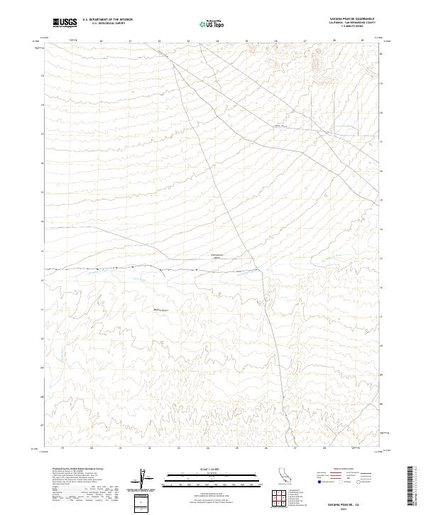
2021 Map of Savahia Peak NE
USGS Topo · Published 2021About this map
The arid landscape of the Mojave Desert characterizes this section of San Bernardino County, where the topography is defined by the broad drainage systems of the Chemehuevi Valley. The most prominent hydrological features are Chemehuevi Wash and Gary Wash, which channel seasonal runoff through the desert floor. This 2021 survey shows a largely undeveloped region, marked primarily by the diagonal path of Havasu Lake Rd in the northern portion of the quadrangle. The map provides a clear look at the public land survey system divisions across these townships, illustrating the vast open spaces between the mountain ranges that border the valley. It is an essential document for understanding the modern drainage patterns and road infrastructure in this remote part of the California desert.
Find a feature on this map
15 named features on this map. Tap any name to fly to it.
Don’t see what you’re looking for? This feature index may not catch every label — zoom into the map to look around manually.
Map Details
Editions of this 2021 Savahia Peak NE Map
This is the sole edition of this map. No revisions or reprints were ever made.
Other maps of this area

1903 · Needles
USGS Topo · 1:125,000

1904 · Needles Special
USGS Topo · 1:125,000

1911 · Parker
USGS Topo · 1:125,000

1943 · Topock
USGS Topo · 1:62,500

1943 · Whipple Mts.
USGS Topo · 1:62,500

1950 · Topock
USGS Topo · 1:62,500

1950 · Sawtooth Range
USGS Topo · 1:62,500

1950 · Whipple Mts
USGS Topo · 1:62,500

1950 · Savahia Peak
USGS Topo · 1:62,500

1951 · Topock
USGS Topo · 1:62,500