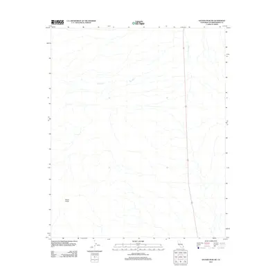
2012 Map of Savahia Peak SW
USGS Topo · Published 2012About this map
The Mopah Range anchors the southwestern portion of this San Bernardino County landscape, defined by the drainage patterns of the California desert. The most prominent hydrological feature is Gary Wash, which winds across the upper half of the sheet, illustrating the natural watercourse through this arid terrain. A single transportation corridor, Route 95, bisects the eastern side of the quadrangle, representing the primary link through this sparsely developed region. This 2012 survey by the U.S. Geological Survey provides a precise view of the geographic features and sparse road network as they existed at the start of the decade, capturing a landscape largely shaped by topography rather than settlement.
Find a feature on this map
3 named features on this map. Tap any name to fly to it.
Don’t see what you’re looking for? This feature index may not catch every label — zoom into the map to look around manually.
Map Details
Editions of this 2012 Savahia Peak SW Map
This is the sole edition of this map. No revisions or reprints were ever made.
Other maps of this area

1943 · Turtle Mts.
USGS Topo · 1:62,500

1943 · Vidal
USGS Topo · 1:62,500

1949 · Vidal
USGS Topo · 1:62,500

1950 · Vidal
USGS Topo · 1:62,500

1950 · Savahia Peak
USGS Topo · 1:62,500

1951 · Savahia Peak
USGS Topo · 1:62,500

1954 · Needles
USGS Topo · 1:250,000

1954 · Turtle Mountains
USGS Topo · 1:62,500

1954 · Rice
USGS Topo · 1:62,500

1956 · Needles
USGS Topo · 1:250,000