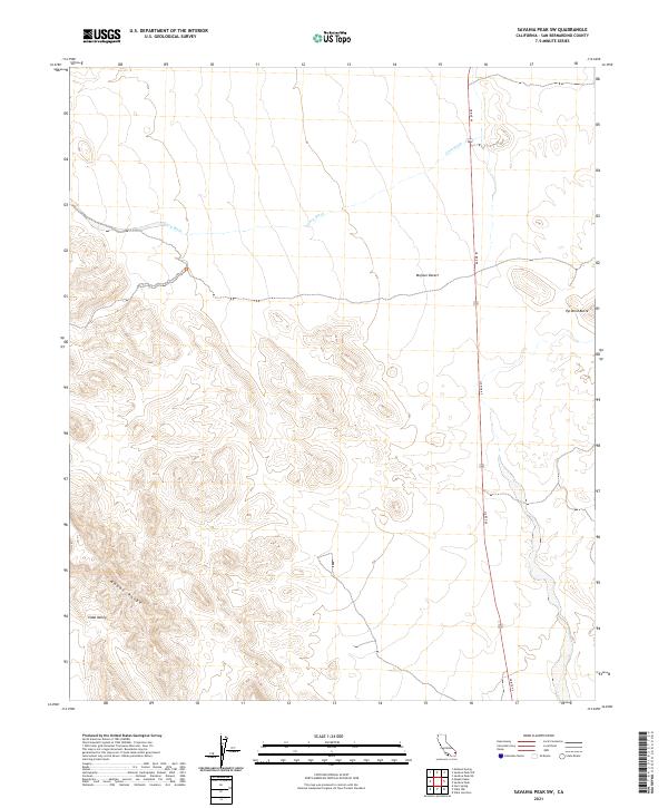
2021 Map of Savahia Peak SW
USGS Topo · Published 2021About this map
The Mopah Range anchors the southwestern portion of this landscape, its complex contours giving way to the open Vidal Valley. This desert terrain is defined by dramatic topographic shifts, where the high relief of the mountains transitions into the expansive Mojave Desert. The ephemeral drainage of Gary Wash cuts across the northern sections, tracing a path through the arid basin toward the east. Infrastructure is sparse in this part of San Bernardino County, centered primarily on the corridor of US Rte 95, which serves as the primary north-south artery through the region. Near the eastern edge, Pyramid Butte stands as a distinct landmark rising from the desert floor. The map illustrates a largely undeveloped wilderness where natural landforms and basic transit routes are the primary features of the land.
Find a feature on this map
10 named features on this map. Tap any name to fly to it.
Don’t see what you’re looking for? This feature index may not catch every label — zoom into the map to look around manually.
Map Details
Editions of this 2021 Savahia Peak SW Map
This is the sole edition of this map. No revisions or reprints were ever made.
Other maps of this area

1943 · Turtle Mts.
USGS Topo · 1:62,500

1943 · Vidal
USGS Topo · 1:62,500

1949 · Vidal
USGS Topo · 1:62,500

1950 · Vidal
USGS Topo · 1:62,500

1950 · Savahia Peak
USGS Topo · 1:62,500

1951 · Savahia Peak
USGS Topo · 1:62,500

1954 · Needles
USGS Topo · 1:250,000

1954 · Turtle Mountains
USGS Topo · 1:62,500

1954 · Rice
USGS Topo · 1:62,500

1956 · Needles
USGS Topo · 1:250,000