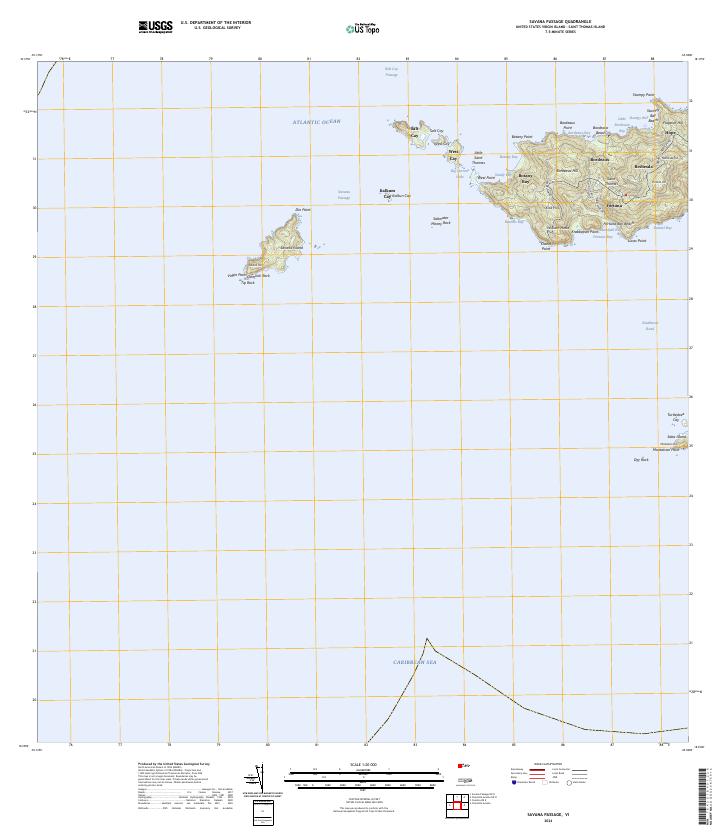
2024 Map of Savana Passage
USGS Topo · Published 2024About this map
Saint Thomas anchors this maritime survey where the northern waters of the Caribbean Sea meet the southern reach of the Atlantic Ocean. The western tip of the island is defined by a series of steep summits, including Bordeaux Hill and Fortune Hill, which overlook a deeply indented coastline of protected coves. Small residential settlements like Fortuna, Bordeaux, and Bethesda are linked by a network of winding roads such as Fortuna Rd and Middle Rd, tracing the high ridges above the shore.
Find a feature on this map
54 named features on this map. Tap any name to fly to it.
Don’t see what you’re looking for? This feature index may not catch every label — zoom into the map to look around manually.
Map Details
Editions of this 2024 Savana Passage Map
This is the sole edition of this map. No revisions or reprints were ever made.
Other maps of this area
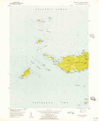
1955 · Western St. Thomas
USGS Topo · 1:24,000
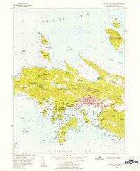
1955 · Central St. Thomas
USGS Topo · 1:24,000
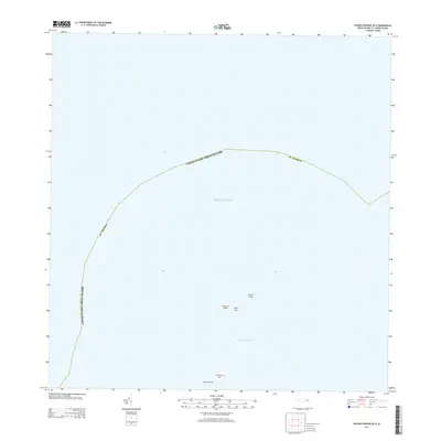
2013 · Savana Passage OE N
USGS Topo · 1:20,000
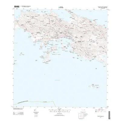
2013 · Charlotte Amalie
USGS Topo · 1:20,000
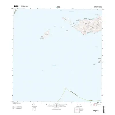
2013 · Savana Passage
USGS Topo · 1:20,000
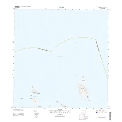
2013 · Charlotte Amalie OE N
USGS Topo · 1:20,000
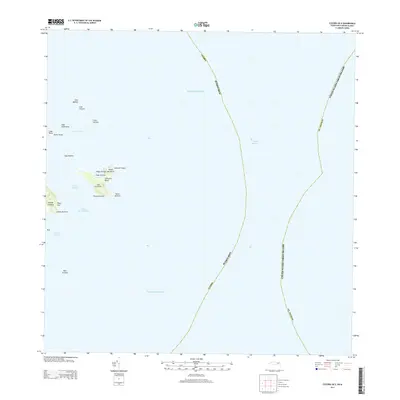
2013 · Culebra OE E
USGS Topo · 1:20,000
2018 · Culebra OE E
USGS Topo · 1:20,000
2024 · Savana Passage OE N
USGS Topo · 1:20,000
2024 · Culebra OE E
USGS Topo · 1:20,000
Featured Places
- Fortuna, Saint Thomas - Saint John District
- United States Virgin Islands
- Saint Thomas - Saint John District