
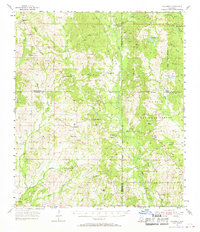
1955 Map of Savannah
USGS Topo · Published 1956About this map
The Wolf River meanders through this portion of southern Mississippi, defining the rural landscape across the borders of Pearl River, Hancock, Stone, and Harrison counties. During the mid-1950s, this region was characterized by small, dispersed settlements like Savannah, Necaise, and Riceville, often centered around community landmarks. Numerous country churches and family burial grounds serve as anchors for local history, including Steep Hollow Ch, Shiloh Ch, and the Necaise Cem.
Find a feature on this map
46 named features on this map. Tap any name to fly to it.
Don’t see what you’re looking for? This feature index may not catch every label — zoom into the map to look around manually.
Map Details
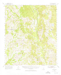
Editions of this 1955 Savannah Map
Other maps of this area

1914 · Nicholson
USGS Topo · 1:62,500

1921 · Nicholson
USGS Topo · 1:62,500

1947 · Wiggins
USGS Topo · 1:62,500

1949 · Wiggins
USGS Topo · 1:62,500

1953 · Mobile
USGS Topo · 1:250,000

1954 · McHenry
USGS Topo · 1:62,500

1956 · Vidalia
USGS Topo · 1:24,000

1956 · Gulfport NW
USGS Topo · 1:24,000

1957 · Mobile
USGS Topo · 1:250,000

1957 · Dead Tiger Creek
USGS Topo · 1:24,000