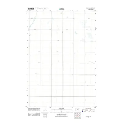
2012 Map of Savo SW
USGS Topo · Published 2012About this map
The Maple River meanders through this portion of Brown County, defining the drainage of a landscape dominated by a rigorous section-line road grid. Two local burial grounds, Savo Cem in the north and Frederick Cem to the west, provide critical points of reference for genealogists and family historians researching the early 21st-century rural landscape. This modern survey illustrates the persistent agricultural geography of the region, where the network of avenues and streets—including 387th Ave and 105th St—maintains the spatial organization established by early settlers. The distribution of small water bodies and wetlands across the prairie highlights the hydrology of the South Dakota plains as they appeared in 2012.
Find a feature on this map
17 named features on this map. Tap any name to fly to it.
Don’t see what you’re looking for? This feature index may not catch every label — zoom into the map to look around manually.
Map Details
Editions of this 2012 Savo SW Map
This is the sole edition of this map. No revisions or reprints were ever made.
Other maps of this area

1894 · Ellendale
USGS Topo · 1:62,500

1894 · Columbia
USGS Topo · 1:62,500

1894 · Savo
USGS Topo · 1:62,500

1896 · Columbia
USGS Topo · 1:125,000

1899 · Ellendale
USGS Topo · 1:125,000

1952 · Columbia NE
USGS Topo · 1:24,000

1952 · Westport
USGS Topo · 1:24,000

1952 · Richmond NE
USGS Topo · 1:24,000

1953 · Savo SW
USGS Topo · 1:24,000

1953 · Frederick
USGS Topo · 1:24,000