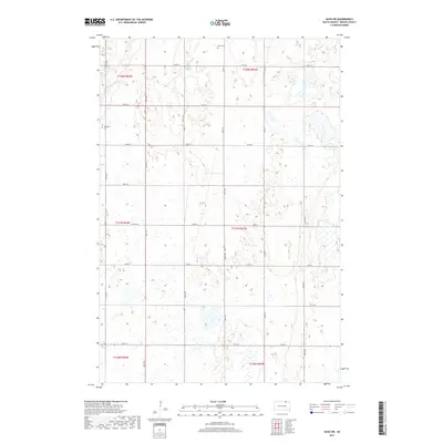
2017 Map of Savo SW
USGS Topo · Published 2017About this map
Maple River meanders through the northwest corner of this Brown County landscape, cutting across the transition between township lines T128N R64W and T128N R63W. The terrain is defined by a dense network of sectional roads, including 105th St and 112th St, which organize the agricultural grid of Frederick Township. A heavy concentration of wetlands and small basins reflects the region's prairie pothole geology, leaving a patchwork of seasonal water across the survey area.
Find a feature on this map
25 named features on this map. Tap any name to fly to it.
Don’t see what you’re looking for? This feature index may not catch every label — zoom into the map to look around manually.
Map Details
Editions of this 2017 Savo SW Map
This is the sole edition of this map. No revisions or reprints were ever made.
Other maps of this area

1894 · Ellendale
USGS Topo · 1:62,500

1894 · Columbia
USGS Topo · 1:62,500

1894 · Savo
USGS Topo · 1:62,500

1896 · Columbia
USGS Topo · 1:125,000

1899 · Ellendale
USGS Topo · 1:125,000

1952 · Columbia NE
USGS Topo · 1:24,000

1952 · Westport
USGS Topo · 1:24,000

1952 · Richmond NE
USGS Topo · 1:24,000

1953 · Savo SW
USGS Topo · 1:24,000

1953 · Frederick
USGS Topo · 1:24,000