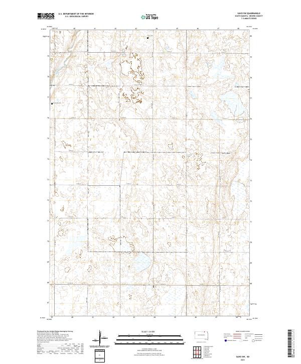
2021 Map of Savo SW
USGS Topo · Published 2021About this map
The Maple River meanders across this rural section of Brown County, carving a narrow path through a landscape dominated by a grid of agricultural section lines. This 2021 survey illustrates the continued importance of historical burial sites as touchstones for local families, including Savo Cem in the north and Frederick Cem further west. The terrain is characterized by a high density of small wetlands and depressions, common to the glacial plains of South Dakota, which are interwoven with a network of secondary roads like Co Rd 14 and 387th Ave. The map reflects a modern state of land management while maintaining the traditional township and range divisions such as t128n r64w and t127n r63w, providing a clear view of the rural infrastructure and natural drainage patterns that have shaped this community.
Find a feature on this map
25 named features on this map. Tap any name to fly to it.
Don’t see what you’re looking for? This feature index may not catch every label — zoom into the map to look around manually.
Map Details
Editions of this 2021 Savo SW Map
This is the sole edition of this map. No revisions or reprints were ever made.
Other maps of this area

1894 · Ellendale
USGS Topo · 1:62,500

1894 · Columbia
USGS Topo · 1:62,500

1894 · Savo
USGS Topo · 1:62,500

1896 · Columbia
USGS Topo · 1:125,000

1899 · Ellendale
USGS Topo · 1:125,000

1952 · Columbia NE
USGS Topo · 1:24,000

1952 · Westport
USGS Topo · 1:24,000

1952 · Richmond NE
USGS Topo · 1:24,000

1953 · Savo SW
USGS Topo · 1:24,000

1953 · Frederick
USGS Topo · 1:24,000