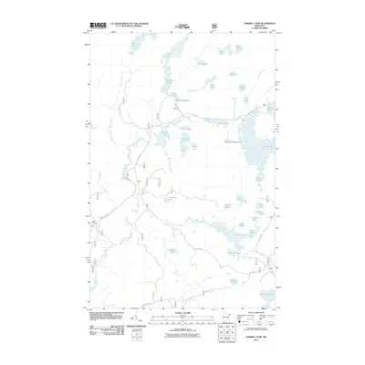
2011 Map of Sawbill Camp
USGS Topo · Published 2011About this map
Sawbill Camp sits at the western edge of this 2011 survey, a landscape defined by an intricate network of interconnected waterways and specialized forest routes. The drainage systems of the Temperance River and Poplar River create a mosaic of aquatic features, including the elongated Crescent Lake and the smaller Anderson Lake. This region of Cook County is characterized by its recreational infrastructure, notably the Baker Lake Campground and Crescent Lake Campground, which are linked by historic backcountry corridors such as the route labeled The Grade. This specific road label often indicates former logging railroad beds that have since been repurposed for motor vehicle or trail use. The map also reveals numerous smaller, uniquely named bodies of water like Sober Lake, Pagoda Lake, and Gossip Lake, illustrating the dense concentration of glacial lakes that dominate this part of the Minnesota wilderness.
Find a feature on this map
50 named features on this map. Tap any name to fly to it.
Don’t see what you’re looking for? This feature index may not catch every label — zoom into the map to look around manually.
Map Details
Editions of this 2011 Sawbill Camp Map
This is the sole edition of this map. No revisions or reprints were ever made.
Other maps of this area

1919 · Brule Lake
USGS Topo · 1:62,500

1919 · Lutsen
USGS Topo · 1:62,500

1954 · Two Harbors
USGS Topo · 1:250,000

1955 · Tofte
USGS Topo · 1:62,500

1957 · Two Harbors
USGS Topo · 1:250,000

1958 · Two Harbors
USGS Topo · 1:250,000

1959 · Lutsen
USGS Topo · 1:24,000

1960 · Tait Lake
USGS Topo · 1:24,000

1960 · Sawbill Camp
USGS Topo · 1:24,000

1960 · Brule Lake
USGS Topo · 1:24,000