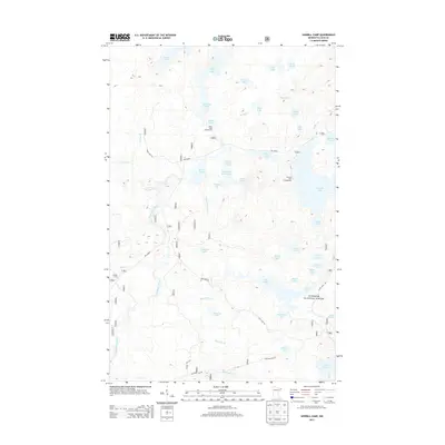
2013 Map of Sawbill Camp
USGS Topo · Published 2013About this map
Sawbill Camp serves as a key access point to the dense lakeland wilderness within the Superior National Forest. This landscape is defined by an intricate network of interconnected water bodies, including Burnt Lake, Kelly Lake, and Crescent Lake, which are linked by smaller streams such as Sawbill Cr and Horn Cr. The presence of the Baker Lake Campground and Crescent Lake Campground highlights the area's long-standing role for recreation and timber access. Local transportation and industry rely on specialized routes like The Grade, Rice Lake Rd, and Pancore Lake Rd, which cut through the drainage basins of the Temperance River and Koski Cr. The map preserves the specific nomenclature of the region's diverse lakes, from the descriptive Marsh Lake and Sober Lake to the uniquely named Gossip Lake and Dogtrot Lake.
Find a feature on this map
49 named features on this map. Tap any name to fly to it.
Don’t see what you’re looking for? This feature index may not catch every label — zoom into the map to look around manually.
Map Details
Editions of this 2013 Sawbill Camp Map
This is the sole edition of this map. No revisions or reprints were ever made.
Other maps of this area

1919 · Brule Lake
USGS Topo · 1:62,500

1919 · Lutsen
USGS Topo · 1:62,500

1954 · Two Harbors
USGS Topo · 1:250,000

1955 · Tofte
USGS Topo · 1:62,500

1957 · Two Harbors
USGS Topo · 1:250,000

1958 · Two Harbors
USGS Topo · 1:250,000

1959 · Lutsen
USGS Topo · 1:24,000

1960 · Tait Lake
USGS Topo · 1:24,000

1960 · Sawbill Camp
USGS Topo · 1:24,000

1960 · Brule Lake
USGS Topo · 1:24,000