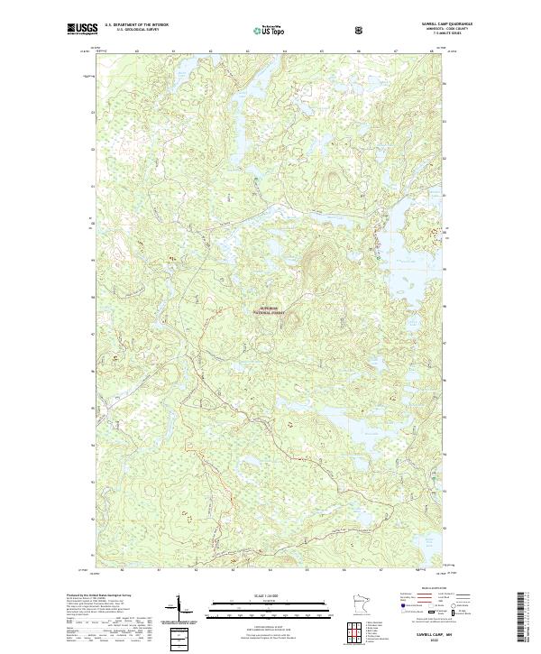
2022 Map of Sawbill Camp
USGS Topo · Published 2022About this map
The Superior National Forest in Cook County defines this landscape, characterized by a complex network of glacial lakes and historical transport routes. A notable feature is The Grade, a logging railroad-turned-road that reflects the industrial history of timber extraction in northeastern Minnesota. This route bisects the northern section of the map, passing near Nelson Lake and Moore Lake. The hydrologic pattern is dominated by the Temperance River, which flows south through a series of water bodies including Kelly Lake and Baker Lake. Recent recreational infrastructure is evident through designated pathways like the Screech Road Bike Trl and Pancore Lake Bike Trl, which navigate the terrain between Rice Lake and Pancore Lake. These trails and the Sawbill Trail highlight the shift from a resource-driven economy to a protected wilderness and recreational landscape.
Find a feature on this map
58 named features on this map. Tap any name to fly to it.
Don’t see what you’re looking for? This feature index may not catch every label — zoom into the map to look around manually.
Map Details
Editions of this 2022 Sawbill Camp Map
This is the sole edition of this map. No revisions or reprints were ever made.
Other maps of this area

1919 · Brule Lake
USGS Topo · 1:62,500

1919 · Lutsen
USGS Topo · 1:62,500

1954 · Two Harbors
USGS Topo · 1:250,000

1955 · Tofte
USGS Topo · 1:62,500

1957 · Two Harbors
USGS Topo · 1:250,000

1958 · Two Harbors
USGS Topo · 1:250,000

1959 · Lutsen
USGS Topo · 1:24,000

1960 · Tait Lake
USGS Topo · 1:24,000

1960 · Sawbill Camp
USGS Topo · 1:24,000

1960 · Brule Lake
USGS Topo · 1:24,000