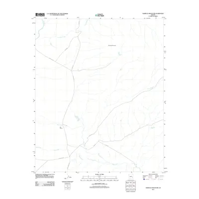
2011 Map of Sawbuck Mountain
USGS Topo · Published 2011About this map
Sawbuck Mountain dominates this portion of the high Arizona landscape, where high-country drainage basins define the geography. The area is characterized by a network of essential water sources for cattle and wildlife, including Sawbuck Tank, Willow Mountain Tank, and the Steer Pasture Tank. These tanks, along with the broad expanse of Big Prairie, illustrate the region's enduring importance for ranching and resource management.
Find a feature on this map
17 named features on this map. Tap any name to fly to it.
Don’t see what you’re looking for? This feature index may not catch every label — zoom into the map to look around manually.
Map Details
Editions of this 2011 Sawbuck Mountain Map
This is the sole edition of this map. No revisions or reprints were ever made.
Other maps of this area

1954 · Clifton
USGS Topo · 1:250,000

1957 · Clifton
USGS Topo · 1:250,000

1958 · Clifton
USGS Topo · 1:250,000

1962 · Clifton
USGS Topo · 1:250,000

1967 · Freezeout Mountain
USGS Topo · 1:24,000
1967 · Sawbuck Mtn.
USGS Topo · 1:24,000
1967 · Maverick SW
USGS Topo · 1:24,000
1967 · West Poker Mtn.
USGS Topo · 1:24,000
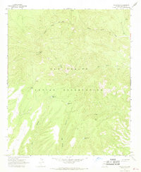
1967 · Willow Mtn.
USGS Topo · 1:24,000
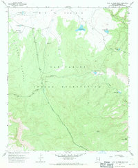
1967 · Point of Pines East
USGS Topo · 1:24,000