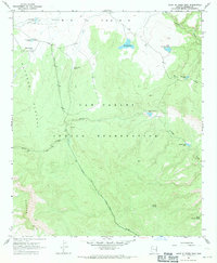
1967 Map of Point of Pines East
USGS Topo · Published 1971About this map
San Carlos Indian Reservation land dominates this high-altitude landscape, where the flat expanse of Big Prairie meets the dramatic descent of the Nantac Rim. The area's long human history is evidenced by Prehistoric Ruins located near the settlement of Point of Pines, while more recent frontier activity is marked by the Picket Trail Dugout. These features suggest a place where early inhabitants and later ranchers sought reliable water and shelter along the Natanes Plateau. The importance of water management in this environment is clear from the numerous named tanks and springs, such as Maggie Jones Tank and South Cienega Spring. Movement across this terrain followed established routes like the Nantac Trail and the Black River Road, connecting remote outposts through a network of creeks and cienegas.
Find a feature on this map
24 named features on this map. Tap any name to fly to it.
Don’t see what you’re looking for? This feature index may not catch every label — zoom into the map to look around manually.
Map Details
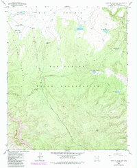
Editions of this 1967 Point of Pines East Map
2 editions found
Other maps of this area

1954 · Clifton
USGS Topo · 1:250,000

1957 · Clifton
USGS Topo · 1:250,000

1958 · Clifton
USGS Topo · 1:250,000

1960 · Fort Thomas
USGS Topo · 1:62,500

1962 · Clifton
USGS Topo · 1:250,000

1962 · Bryce Mountain
USGS Topo · 1:62,500
1967 · Sawbuck Mtn.
USGS Topo · 1:24,000
1967 · Willow Mtn.
USGS Topo · 1:24,000
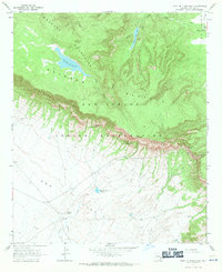
1967 · Point of Pines West
USGS Topo · 1:24,000
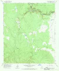
1967 · Natanes Mts NE
USGS Topo · 1:24,000