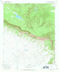
1967 Map of Point of Pines West
USGS Topo · Published 1971About this map
The Nan Tac Rim provides a massive topographical divide across this portion of the San Carlos Indian Reservation, separating the high San Carlos Plateau from the lower expanse of Ash Flat. This 1967 survey captures a landscape defined by significant elevation changes and seasonal water sources, including the Dry Lake and the Point of Pines Lake. Human presence is marked by diverse artifacts of the era and earlier, from a high-altitude Lookout Tower in the Natanes Mountains to an ancient Cliff Dwelling located near Barlow Pass. The map also details specific water and stock management points such as Arsenic Spring, Arsenic Tubs, and Headquarters Tank, illustrating the ranching and resource management necessities of this high-desert environment. Traces of travel are seen in the network of Trails and Jeep Trails that navigate the steep escarpments of the rim.
Find a feature on this map
24 named features on this map. Tap any name to fly to it.
Don’t see what you’re looking for? This feature index may not catch every label — zoom into the map to look around manually.
Map Details
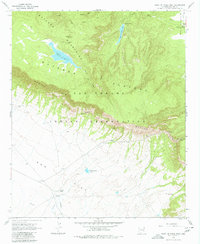
Editions of this 1967 Point of Pines West Map
2 editions found
Other maps of this area

1954 · Clifton
USGS Topo · 1:250,000

1957 · Clifton
USGS Topo · 1:250,000

1958 · Clifton
USGS Topo · 1:250,000

1960 · Fort Thomas
USGS Topo · 1:62,500

1962 · Clifton
USGS Topo · 1:250,000

1962 · Bryce Mountain
USGS Topo · 1:62,500
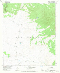
1967 · Sawbuck Mtn.
USGS Topo · 1:24,000
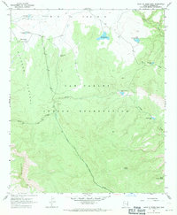
1967 · Point of Pines East
USGS Topo · 1:24,000
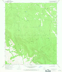
1967 · Natanes Mts NW
USGS Topo · 1:24,000
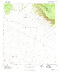
1967 · Tule Tubs
USGS Topo · 1:24,000