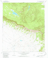
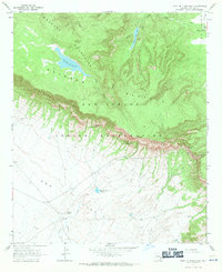
1967 Map of Point of Pines West
USGS Topo · Published 1980About this map
The Nantac Rim creates a sharp geological divide across this portion of the San Carlos Indian Reservation, separating the high Natanes Plateau from the lower expanse of Ash Flat. High-altitude water management is evident at Point of Pines Lake and Dry Lake, both situated within the Natanes Mountains. The map records distinct cultural markers of different eras, from a Cliff Dwelling tucked along the rim to the modern Point of Pines settlement and a Lookout Tower positioned for forest surveillance. Ranching and land use are indicated by the presence of the Headquarters Tank, East Tule Well, and the Arsenic Tubs located on the flatlands. Navigation through this varied terrain relies on a network of primitive routes, including a Jeep Trail and the passage through Barlow Pass.
Find a feature on this map
26 named features on this map. Tap any name to fly to it.
Don’t see what you’re looking for? This feature index may not catch every label — zoom into the map to look around manually.
Map Details
Editions of this 1967 Point of Pines West Map
2 editions found
Other maps of this area

1954 · Clifton
USGS Topo · 1:250,000

1957 · Clifton
USGS Topo · 1:250,000

1958 · Clifton
USGS Topo · 1:250,000

1960 · Fort Thomas
USGS Topo · 1:62,500

1962 · Clifton
USGS Topo · 1:250,000

1962 · Bryce Mountain
USGS Topo · 1:62,500
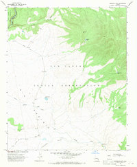
1967 · Sawbuck Mtn.
USGS Topo · 1:24,000
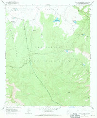
1967 · Point of Pines East
USGS Topo · 1:24,000
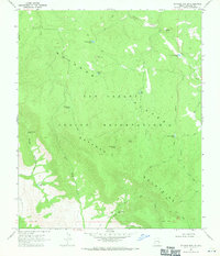
1967 · Natanes Mts NW
USGS Topo · 1:24,000
1967 · Point of Pines West
USGS Topo · 1:24,000