
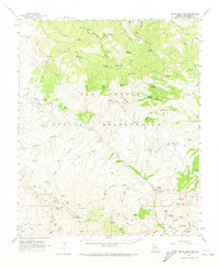
1962 Map of Bryce Mountain
USGS Topo · Published 1964About this map
The San Carlos Indian Reservation occupies the center of this 1962 survey, revealing a landscape defined by sharp elevation changes and vital water sources. High points like Bryce Mountain and Elevator Mountain loom over complex drainages, including Deadman Canyon and Midnight Canyon. The map documents early human presence through labels for Cliff Dwellings and a Cliff Dwelling located near the headwaters of seasonal washes.
Find a feature on this map
117 named features on this map. Tap any name to fly to it.
Don’t see what you’re looking for? This feature index may not catch every label — zoom into the map to look around manually.
Map Details
Editions of this 1962 Bryce Mountain Map
2 editions found
Other maps of this area

1902 · Clifton
USGS Topo · 1:62,500

1913 · Morenci
USGS Topo · 1:125,000

1915 · Morenci
USGS Topo · 1:125,000

1954 · Silver City
USGS Topo · 1:250,000

1954 · Clifton
USGS Topo · 1:250,000

1957 · Clifton
USGS Topo · 1:250,000

1958 · Silver City
USGS Topo · 1:250,000

1958 · Clifton
USGS Topo · 1:250,000

1960 · Thatcher
USGS Topo · 1:62,500

1960 · Guthrie
USGS Topo · 1:62,500