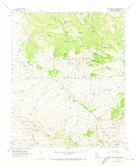
1962 Map of Bryce Mountain
USGS Topo · Published 1973About this map
The San Carlos Indian Reservation dominates this 1960s landscape, where the dramatic escarpment of the Nantac Rim separates the high plateau of Black Mesa from the lower desert basins. The territory is defined by its water sources, essential for survival in the arid high country, evidenced by the numerous named tanks and springs like Maverick Spring, Windy Well, and Pistol Springs. Remote seasonal outposts and infrastructure for range management appear as the Bryce Horse Camp, Park Creek Cabins, and Bonita Camp.
Find a feature on this map
113 named features on this map. Tap any name to fly to it.
Don’t see what you’re looking for? This feature index may not catch every label — zoom into the map to look around manually.
Map Details
Editions of this 1962 Bryce Mountain Map
2 editions found

Other maps of this area

1902 · Clifton
USGS Topo · 1:62,500

1913 · Morenci
USGS Topo · 1:125,000

1915 · Morenci
USGS Topo · 1:125,000

1954 · Silver City
USGS Topo · 1:250,000

1954 · Clifton
USGS Topo · 1:250,000

1957 · Clifton
USGS Topo · 1:250,000

1958 · Silver City
USGS Topo · 1:250,000

1958 · Clifton
USGS Topo · 1:250,000

1960 · Thatcher
USGS Topo · 1:62,500

1960 · Guthrie
USGS Topo · 1:62,500