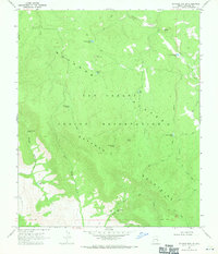
1967 Map of Natanes Mts NW
USGS Topo · Published 1971About this map
San Carlos Indian Reservation land dominates this high-altitude landscape in Graham and Gila counties. The topography is defined by the massive Natanes Plateau and Natanes Mountains, where water management for livestock and wildlife is central to the land's utility. Numerous named water sources, including Old Summit Springs and Bill Simms Spring, are scattered across the terrain, alongside man-made improvements like Double Circle Tank and Shoe Tank. Atop a 6,400-foot ridge, the Edwards Lookout Tower provides a strategic vantage point overlooking the canyons. The network of Jeep Trails and Pack Trails winding through Sawmill Canyon and along Little Rocky Creek highlights the navigational patterns used by ranchers and foresters during the mid-20th century, following the natural contours of the Ash Fork and Soldier Creek drainages.
Find a feature on this map
29 named features on this map. Tap any name to fly to it.
Don’t see what you’re looking for? This feature index may not catch every label — zoom into the map to look around manually.
Map Details
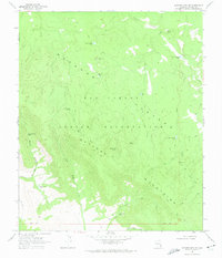
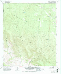
Editions of this 1967 Natanes Mts NW Map
3 editions found
Other maps of this area

1954 · Clifton
USGS Topo · 1:250,000

1954 · Mesa
USGS Topo · 1:250,000

1957 · Mesa
USGS Topo · 1:250,000

1957 · Clifton
USGS Topo · 1:250,000

1958 · Clifton
USGS Topo · 1:250,000

1958 · Mesa
USGS Topo · 1:250,000

1960 · Mesa
USGS Topo · 1:250,000

1962 · Clifton
USGS Topo · 1:250,000

1964 · Mesa
USGS Topo · 1:250,000

1966 · Georges Butte
USGS Topo · 1:24,000