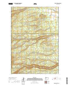
2020 Map of Sawmill Butte
USGS Topo · Published 2020About this map
Sawmill Butte rises as a central landmark in this high-elevation landscape straddling the boundary between Wasco and Jefferson counties. The terrain is defined by a series of parallel watercourses flowing eastward, including Shitike Cr, Boulder Cr, and Middle Cr. Historical land use is suggested by the naming of Mill Creek Flat and a network of logging and administrative routes such as NW Old Mill Rd and NW Peters Pasture Old Mill Rd. The map also details North Butte and Miller Flat, illustrating the high-country plateaus and drainages of this part of Oregon. Bureau of Indian Affairs (BIA) roads crisscross the area, indicating its location within or near tribal lands and the importance of this network for access and resource management.
Find a feature on this map
66 named features on this map. Tap any name to fly to it.
Don’t see what you’re looking for? This feature index may not catch every label — zoom into the map to look around manually.
Map Details
Editions of this 2020 Sawmill Butte Map
This is the sole edition of this map. No revisions or reprints were ever made.
Other maps of this area

1927 · Mt. Jefferson
USGS Topo · 1:125,000

1928 · Madras
USGS Topo · 1:125,000

1930 · Mt. Jefferson
USGS Topo · 1:125,000

1931 · Madras
USGS Topo · 1:125,000

1955 · Bend
USGS Topo · 1:250,000

1957 · Bend
USGS Topo · 1:250,000

1958 · Bend
USGS Topo · 1:250,000

1961 · Whitewater River
USGS Topo · 1:62,500

1961 · Fort Butte
USGS Topo · 1:62,500

1962 · Metolius Bench
USGS Topo · 1:24,000