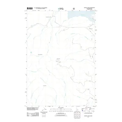
2011 Map of Sawtell Peak
USGS Topo · Published 2011About this map
Sawtell Peak dominates this high-altitude landscape on the border of Idaho and Montana, serving as a prominent landmark for the surrounding headwaters. The topography is defined by sharp elevation changes and numerous watercourses, including Hell Roaring Creek and Yale Creek, which drain the mountain's eastern and western flanks. To the north, the waters of Henrys Lake appear at the map's edge, fed by streams like Duck Creek and Hope Creek. The drainage patterns here reveal a complex hydrologic network, with Rock Creek Basin and Lake Marie tucked into high-relief areas. Transportation is largely restricted to corridors like Red Rock Rd and the winding Sawtell Peak Rd, which provides access to the heights. Historical land use is hinted at by features such as Schoolhouse Canyon and Bootjack Pass, suggesting the routes and localized settlements that once navigated this high-mountain terrain.
Find a feature on this map
26 named features on this map. Tap any name to fly to it.
Don’t see what you’re looking for? This feature index may not catch every label — zoom into the map to look around manually.
Map Details
Editions of this 2011 Sawtell Peak Map
This is the sole edition of this map. No revisions or reprints were ever made.
Other maps of this area

1950 · Upper Red Rock Lake
USGS Topo · 1:62,500

1955 · Ashton
USGS Topo · 1:250,000

1958 · Ashton
USGS Topo · 1:250,000

1960 · Ashton
USGS Topo · 1:250,000

1964 · Island Park
USGS Topo · 1:24,000

1964 · Island Park Dam
USGS Topo · 1:24,000

1964 · Targhee Pass
USGS Topo · 1:24,000

1964 · Targhee Peak
USGS Topo · 1:24,000

1964 · Sawtell PK
USGS Topo · 1:24,000

1964 · Big Springs
USGS Topo · 1:24,000