
1964 Map of Island Park
USGS Topo · Published 1965About this map
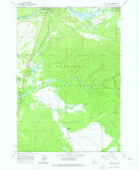
Henrys Fork and the Buffalo River define this pocket of the Targhee National Forest in the mid-1960s, a period when the area was a focal point for federal management and seasonal recreation. The map highlights the administrative presence of the era, from the Flat Rock Guard Sta and Island Park Ranger Station to the Macks Inn PO. This landscape was a hub of transit and tourism, where the Union Pacific rail line serviced the Island Park Siding while travelers frequented the Island Park Village and various sites along the Island Park Reservoir. The concentration of sites like the Elk Creek Ranch, multiple Gravel Pits, and a Trailer Park underscores the region's development as a gateway for both timber management and outdoor leisure, anchored by the legendary fishing waters of Big Springs.
Find a feature on this map
30 named features on this map. Tap any name to fly to it.
Don’t see what you’re looking for? This feature index may not catch every label — zoom into the map to look around manually.
Map Details
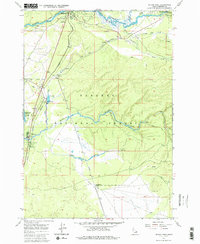
Editions of this 1964 Island Park Map
3 editions found
Other maps of this area

1955 · Ashton
USGS Topo · 1:250,000

1957 · Buffalo Lake
USGS Topo · 1:62,500

1958 · Ashton
USGS Topo · 1:250,000

1958 · West Yellowstone
USGS Topo · 1:62,500

1960 · Ashton
USGS Topo · 1:250,000

1964 · Hatchery Butte
USGS Topo · 1:24,000

1964 · Island Park Dam
USGS Topo · 1:24,000

1964 · Sawtell PK
USGS Topo · 1:24,000

1964 · Big Springs
USGS Topo · 1:24,000

1964 · Last Chance
USGS Topo · 1:24,000