
1964 Map of Last Chance
USGS Topo · Published 1966About this map
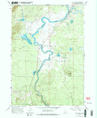
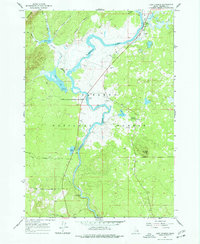
Henrys Fork snakes through this portion of the Targhee National Forest in eastern Idaho, defining a landscape of wetlands, volcanic buttes, and mid-century recreational development. The small settlement at Last Chance sits near the northern boundary, supported by a local Landing Strip and proximity to the river. Further south, the map reveals the complex hydrology of the region, where Thurmon Creek feeds into Silver Lake and Golden Lake before meeting the main river channel. The presence of the Railroad Ranch and the community of Osborne highlights early land use patterns, while the Osborne Springs Campground and Riverside Campground indicate the area's established role as a destination for outdoorsmen and travelers. Terrain features like Osborne Butte and Hatchery Butte rise above the surrounding flats, providing distinct landmarks for navigators and local historians.
Find a feature on this map
35 named features on this map. Tap any name to fly to it.
Don’t see what you’re looking for? This feature index may not catch every label — zoom into the map to look around manually.
Map Details
Editions of this 1964 Last Chance Map
3 editions found
Other maps of this area

1955 · Ashton
USGS Topo · 1:250,000

1958 · Ashton
USGS Topo · 1:250,000

1960 · Ashton
USGS Topo · 1:250,000

1964 · Hatchery Butte
USGS Topo · 1:24,000

1964 · Island Park
USGS Topo · 1:24,000

1964 · Island Park Dam
USGS Topo · 1:24,000

1965 · Lookout Butte
USGS Topo · 1:24,000

1965 · Snake River Butte
USGS Topo · 1:24,000

1965 · Blue Creek Reservoir
USGS Topo · 1:24,000
1965 · Icehouse Creek
USGS Topo · 1:24,000