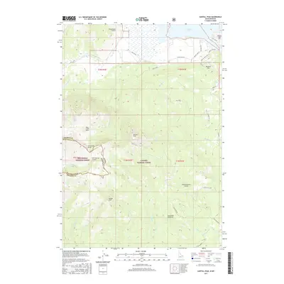
2017 Map of Sawtell Peak
USGS Topo · Published 2017About this map
Sawtell Peak stands as the dominant height on this high-altitude landscape, where the Continental Divide forms a jagged border between the Beaverhead National Forest and the Targhee National Forest. The geography is defined by steep descents from ridges into deeply carved features like Hell Roaring Canyon and White Elephant Canyon. To the northeast, the terrain levels into the Henrys Lake Flat, where the southern edge of Henrys Lake meets localized developments such as the Webster Subdivision. This 2017 survey reveals a wilderness managed for both conservation and seasonal recreation, with a network of forest roads like Stoddard Mill No. 2 and Sawtell Rd providing access to high-country basins. Water from the snow-fed heights feeds numerous drainages, including Duck Cr and Yale Cr, which flow through the rugged Centennial Mountains.
Find a feature on this map
52 named features on this map. Tap any name to fly to it.
Don’t see what you’re looking for? This feature index may not catch every label — zoom into the map to look around manually.
Map Details
Editions of this 2017 Sawtell Peak Map
This is the sole edition of this map. No revisions or reprints were ever made.
Other maps of this area

1950 · Upper Red Rock Lake
USGS Topo · 1:62,500

1955 · Ashton
USGS Topo · 1:250,000

1958 · Ashton
USGS Topo · 1:250,000

1960 · Ashton
USGS Topo · 1:250,000

1964 · Island Park
USGS Topo · 1:24,000

1964 · Island Park Dam
USGS Topo · 1:24,000

1964 · Targhee Pass
USGS Topo · 1:24,000

1964 · Targhee Peak
USGS Topo · 1:24,000

1964 · Sawtell PK
USGS Topo · 1:24,000

1964 · Big Springs
USGS Topo · 1:24,000