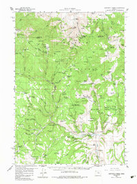
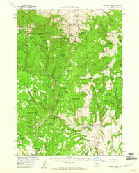
1959 Map of Sawtooth Creek
USGS Topo · Published 1983About this map
Malheur National Forest and Ochoco National Forest converge in this high-elevation Oregon landscape, where the headwaters of the South Fork John Day River and the Malheur River begin their descent. During the late 1950s, this area served as a critical hub for forest management and ranching operations, centered around hubs like the Blue Creek Work Center and the Bear Tree Guard Sta. The map documents a network of high-country ranches, including Rickman Ranch, Carey Ranch, and Buttes Ranch, which operated alongside established landmarks such as the historic Dalles-Military Road. From the heights of Snow Mtn and Whiskey Mtn to the riparian flats of Sawtooth Meadows, the landscape is defined by its numerous named springs and reservoirs, such as Crystal Res and Browns Res, supporting both livestock and timber interests during this era.
Find a feature on this map
117 named features on this map. Tap any name to fly to it.
Don’t see what you’re looking for? This feature index may not catch every label — zoom into the map to look around manually.
Map Details
Editions of this 1959 Sawtooth Creek Map
2 editions found
Other maps of this area
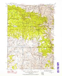
1932 · Dayville
USGS Topo · 1:125,000
1936 · Dayville
USGS Topo · 1:125,000

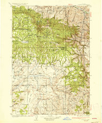
1955 · Burns
USGS Topo · 1:250,000

1955 · Canyon City
USGS Topo · 1:250,000

1958 · Burns
USGS Topo · 1:250,000

1959 · Burns
USGS Topo · 1:250,000

1959 · Canyon City
USGS Topo · 1:250,000
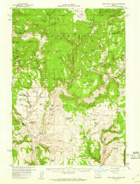
1959 · West Myrtle Butte
USGS Topo · 1:62,500
1959 · Sawtooth Creek
USGS Topo · 1:62,500
1960 · Burns
USGS Topo · 1:62,500