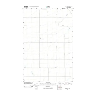
2011 Map of Sawyer SW
USGS Topo · Published 2011About this map
Center Cemetery stands as a primary point of historical interest in this rural portion of Ward County, situated among the section lines of the North Dakota prairie. The landscape is defined by the subtle drainage patterns of Oak Creek in the south and the winding path of Burkley Coulee to the northeast. A precise grid of local roads, including 107th Ave SE and 42nd St SE, organizes the agricultural territory. This 2011 survey reflects the enduring section-line layout established by the original land surveys, providing a clear view of the rural infrastructure and the few named natural landmarks that punctuate the plains.
Find a feature on this map
19 named features on this map. Tap any name to fly to it.
Don’t see what you’re looking for? This feature index may not catch every label — zoom into the map to look around manually.
Map Details
Editions of this 2011 Sawyer SW Map
This is the sole edition of this map. No revisions or reprints were ever made.
Other maps of this area

1928 · Minot
USGS Topo · 1:62,500

1929 · Sawyer
USGS Topo · 1:62,500

1929 · Benedict
USGS Topo · 1:62,500

1948 · Sawyer
USGS Topo · 1:24,000

1948 · Surrey
USGS Topo · 1:24,000

1949 · Sawyer
USGS Topo · 1:24,000

1949 · Sawyer NE
USGS Topo · 1:24,000

1949 · Surrey
USGS Topo · 1:24,000

1949 · Minot
USGS Topo · 1:24,000

1949 · Sawyer
USGS Topo · 1:62,500