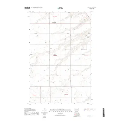
2020 Map of Sawyer SW
USGS Topo · Published 2020About this map
Mostad Coulee and the winding drainage of Blackwater Coulee define the terrain of this Ward County landscape. This part of North Dakota maintains a deliberate grid of section lines and gravel roads, including 135th Ave SE and 163rd Ave SE, which serve the agricultural townships. For those researching local heritage, the map identifies specific landmarks like the Saint Peters Lutheran Cem and Willis Cem, situated amongst the breaks near Burkley Coulee. The presence of Oaks Cr in the southern sections further illustrates the watershed patterns of the region, while Co Hwy 20 provides the primary transit artery across the prairie.
Find a feature on this map
24 named features on this map. Tap any name to fly to it.
Don’t see what you’re looking for? This feature index may not catch every label — zoom into the map to look around manually.
Map Details
Editions of this 2020 Sawyer SW Map
This is the sole edition of this map. No revisions or reprints were ever made.
Other maps of this area

1928 · Minot
USGS Topo · 1:62,500

1929 · Sawyer
USGS Topo · 1:62,500

1929 · Benedict
USGS Topo · 1:62,500

1948 · Sawyer
USGS Topo · 1:24,000

1948 · Surrey
USGS Topo · 1:24,000

1949 · Sawyer
USGS Topo · 1:24,000

1949 · Sawyer NE
USGS Topo · 1:24,000

1949 · Surrey
USGS Topo · 1:24,000

1949 · Minot
USGS Topo · 1:24,000

1949 · Sawyer
USGS Topo · 1:62,500