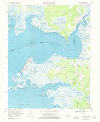
1968 Map of Saxis
USGS Topo · Published 1972About this map
Pocomoke Sound and the intricate wetlands of the Eastern Shore define this 1968 survey of the Virginia-Maryland border. The community of Saxis occupies a precarious point of land surrounded by Freeschool Marsh and Starling Cr, reflecting a coastal lifestyle deeply tied to the tides. Further inland, a network of small farming and fishing settlements including Sanford, Messongo, and Grotons are connected by a system of country roads and local landmarks such as Pilgrim Ch and Halls Chapel.
Find a feature on this map
70 named features on this map. Tap any name to fly to it.
Don’t see what you’re looking for? This feature index may not catch every label — zoom into the map to look around manually.
Map Details
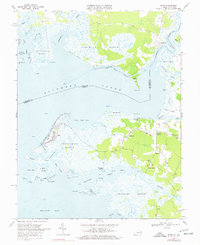
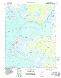
Editions of this 1968 Saxis Map
3 editions found
Other maps of this area

1903 · Crisfield
USGS Topo · 1:62,500

1903 · Deal Island
USGS Topo · 1:62,500

1920 · Crisfield
USGS Topo · 1:62,500

1942 · Chesconessex
USGS Topo · 1:31,680

1942 · Marion
USGS Topo · 1:24,000

1942 · Kingston
USGS Topo · 1:24,000

1942 · Mappsville
USGS Topo · 1:24,000

1942 · Saxis
USGS Topo · 1:24,000

1942 · Parksley
USGS Topo · 1:24,000

1943 · Parksley
USGS Topo · 1:31,680