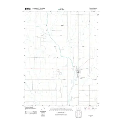
2012 Map of Scandia
USGS Topo · Published 2012About this map
The Republican River winds through the heart of Republic County, defining the agricultural landscape around the town of Scandia. This 2012 survey illustrates a well-ordered rural grid, where the small community of Sherdahl remains a point of interest north of the main settlement. The river's path is marked by significant local landmarks, including the Riverview Cem along its banks and the Lutheran Cem further east.
Find a feature on this map
39 named features on this map. Tap any name to fly to it.
Don’t see what you’re looking for? This feature index may not catch every label — zoom into the map to look around manually.
Map Details
Editions of this 2012 Scandia Map
This is the sole edition of this map. No revisions or reprints were ever made.
Other maps of this area
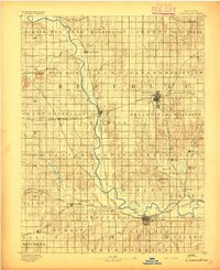
1892 · Concordia
USGS Topo · 1:125,000
1955 · Manhattan
USGS Topo · 1:250,000
1956 · Manhattan
USGS Topo · 1:250,000
1957 · Manhattan
USGS Topo · 1:250,000
1965 · Concordia NW
USGS Topo · 1:24,000
1965 · Kackley
USGS Topo · 1:24,000
1966 · Scandia
USGS Topo · 1:24,000
1966 · Belleville
USGS Topo · 1:24,000
1968 · Jamestown NW
USGS Topo · 1:24,000
1968 · Belleville NW
USGS Topo · 1:24,000