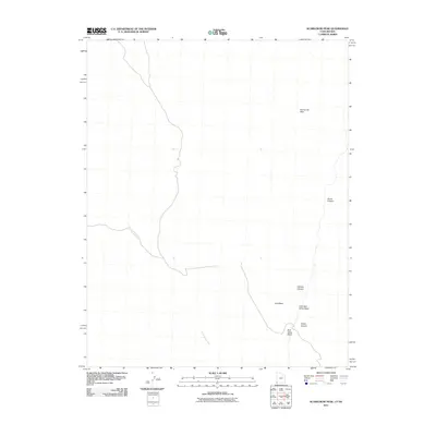
2011 Map of Scarecrow Peak
USGS Topo · Published 2011About this map
Scarecrow Peak stands as the primary landmark in this high-desert region of Washington County along the Utah-Nevada border. The landscape is defined by an intricate network of drainage systems that have carved deep into the terrain, including Horse Canyon and Indian Canyon. Water management and natural flow are central to the geography here, evidenced by the convergence of Bull Valley Wash, Little Bull Valley Wash, and Guy Wash. These intermittent watercourses, along with the prominent Snow Spring Wash, illustrate a complex hydrological pattern common to the arid basins of the American West. The survey highlights how these geographic features dictate the primitive road networks that navigate through Catclaw Canyon and surrounding high points.
Find a feature on this map
8 named features on this map. Tap any name to fly to it.
Don’t see what you’re looking for? This feature index may not catch every label — zoom into the map to look around manually.
Map Details
Editions of this 2011 Scarecrow Peak Map
This is the sole edition of this map. No revisions or reprints were ever made.
Other maps of this area

1885 · St. George
USGS Topo · 1:250,000

1885 · Pioche
USGS Topo · 1:250,000

1886 · Pioche
USGS Topo · 1:250,000

1891 · St. George
USGS Topo · 1:250,000

1953 · Cedar City
USGS Topo · 1:250,000

1954 · Caliente
USGS Topo · 1:250,000

1958 · Cedar City
USGS Topo · 1:250,000

1959 · Caliente
USGS Topo · 1:250,000

1962 · Cedar City
USGS Topo · 1:250,000
1972 · Motoqua
USGS Topo · 1:24,000