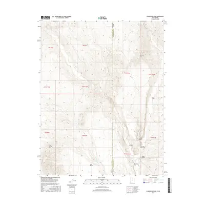
2017 Map of Scarecrow Peak
USGS Topo · Published 2017About this map
Scarecrow Peak dominates the high ground of this arid borderlands region, where the state line between Nevada and Utah meets the boundary of Lincoln and Washington Counties. The landscape is defined by a complex network of seasonal drainage channels, including Snow Spring Wash in the west and Bull Valley Wash in the southeast. These washes have carved significant geological features into the terrain, such as Horse Canyon, Catclaw Canyon, and Indian Canyon.
Find a feature on this map
22 named features on this map. Tap any name to fly to it.
Don’t see what you’re looking for? This feature index may not catch every label — zoom into the map to look around manually.
Map Details
Editions of this 2017 Scarecrow Peak Map
This is the sole edition of this map. No revisions or reprints were ever made.
Other maps of this area

1885 · St. George
USGS Topo · 1:250,000

1885 · Pioche
USGS Topo · 1:250,000

1886 · Pioche
USGS Topo · 1:250,000

1891 · St. George
USGS Topo · 1:250,000

1953 · Cedar City
USGS Topo · 1:250,000

1954 · Caliente
USGS Topo · 1:250,000

1958 · Cedar City
USGS Topo · 1:250,000

1959 · Caliente
USGS Topo · 1:250,000

1962 · Cedar City
USGS Topo · 1:250,000
1972 · Motoqua
USGS Topo · 1:24,000