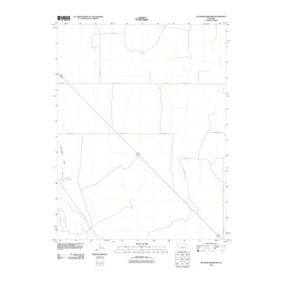
2010 Map of Schafer Reservoir
USGS Topo · Published 2010About this map
Big Sandy Creek flows through the southeastern portion of this landscape, carving a low-lying drainage system through the plains of Cheyenne County. The terrain is defined by a rigid grid of local thoroughfares, such as County Rd 2L and County Rd 46, which illustrate the systematic land division of the High Plains. Evidence of local ranching and water management is centered around Schafer Reservoir and the nearby Sanders Ranch at the southern edge of the quadrangle.
Find a feature on this map
14 named features on this map. Tap any name to fly to it.
Don’t see what you’re looking for? This feature index may not catch every label — zoom into the map to look around manually.
Map Details
Editions of this 2010 Schafer Reservoir Map
This is the sole edition of this map. No revisions or reprints were ever made.
Other maps of this area

1891 · Arroyo
USGS Topo · 1:125,000

1893 · Arroyo
USGS Topo · 1:125,000

1954 · Limon
USGS Topo · 1:250,000

1954 · Lamar
USGS Topo · 1:250,000

1957 · Limon
USGS Topo · 1:250,000

1958 · Limon
USGS Topo · 1:250,000

1958 · Lamar
USGS Topo · 1:250,000

1978 · Aroya
USGS Topo · 1:24,000

1978 · Rock Basin
USGS Topo · 1:24,000

1978 · Sanders Ranch
USGS Topo · 1:24,000