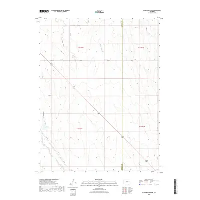
2019 Map of Schafer Reservoir
USGS Topo · Published 2019About this map
Schafer Reservoir lies at the heart of this High Plains landscape where the boundaries of Lincoln and Cheyenne counties meet. The terrain is defined by a series of north-south drainage systems, including Schoolhouse Gulch and Folger Gulch, which carve subtle relief into the prairie before reaching the Big Sandy Creek corridor in the southwest.
Find a feature on this map
19 named features on this map. Tap any name to fly to it.
Don’t see what you’re looking for? This feature index may not catch every label — zoom into the map to look around manually.
Map Details
Editions of this 2019 Schafer Reservoir Map
This is the sole edition of this map. No revisions or reprints were ever made.
Other maps of this area

1891 · Arroyo
USGS Topo · 1:125,000

1893 · Arroyo
USGS Topo · 1:125,000

1954 · Limon
USGS Topo · 1:250,000

1954 · Lamar
USGS Topo · 1:250,000

1957 · Limon
USGS Topo · 1:250,000

1958 · Limon
USGS Topo · 1:250,000

1958 · Lamar
USGS Topo · 1:250,000

1978 · Aroya
USGS Topo · 1:24,000

1978 · Rock Basin
USGS Topo · 1:24,000

1978 · Sanders Ranch
USGS Topo · 1:24,000