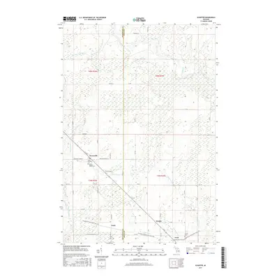
2017 Map of Schaffer
USGS Topo · Published 2017About this map
Perronville and Schaffer serve as the primary hubs in this section of the Upper Peninsula, where the landscape is defined by the drainage systems of the Ford River and Bark River. The map illustrates a transition in transportation history, following the corridor of the Chicago and N Western RR through the settlements of Eustis and Tesch. This rail line is mirrored by the development of the Escanaba to Hermansville State Trail, which repurposed the former industrial right-of-way for modern use. Local history is anchored by sites such as the Saint Michael's Catholic Cem near Perronville and the Schaffer Cem, reflecting the enduring community ties in this rural Delta County timber and transit corridor. Numerous small tributaries, including Tenmile Creek and Twentyfour Mile Cr, crisscross the townships, dictated by the low-lying terrain and local road networks like Co Rd 410 and Swede Road Number 47.
Find a feature on this map
56 named features on this map. Tap any name to fly to it.
Don’t see what you’re looking for? This feature index may not catch every label — zoom into the map to look around manually.
Map Details
Editions of this 2017 Schaffer Map
This is the sole edition of this map. No revisions or reprints were ever made.
Other maps of this area

1932 · Bark River NE
USGS Topo · 1:31,680

1932 · Whitney NE
USGS Topo · 1:31,680

1932 · Whitney SE
USGS Topo · 1:31,680

1932 · Gladstone SW
USGS Topo · 1:31,680

1932 · Gladstone NW
USGS Topo · 1:31,680

1950 · Gladstone NW
USGS Topo · 1:31,680

1954 · Escanaba
USGS Topo · 1:250,000

1957 · Escanaba
USGS Topo · 1:250,000

1958 · Escanaba
USGS Topo · 1:250,000

1958 · Gladstone
USGS Topo · 1:62,500
Featured Places
- Ford River Township, MI
- Harris Township, MI
- Perronville, MI
- Bark River Township, MI
- Escanaba Township, MI