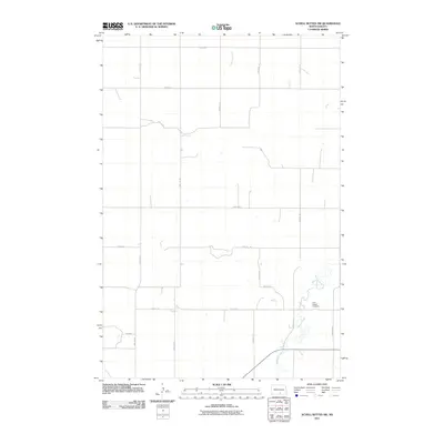
2011 Map of Schell Buttes SW
USGS Topo · Published 2011About this map
Saint Joseph Cemetery stands as a focal point in the southeastern portion of this landscape, situated near the winding path of Beaver Creek. The terrain is defined by a systematic grid of section roads including 21st Ave SE and 77th St SE, which facilitate travel through this agricultural region. Waterways such as Long Lake Creek provide a natural contrast to the geometric precision of the roadway network. The presence of Hulm Ln suggests a connection to local families, offering a specific point of interest for those researching the land use and heritage of this part of Logan County. The map provides a high-resolution look at the drainage patterns and elevation changes across this prairie environment at the start of the 2010s.
Find a feature on this map
18 named features on this map. Tap any name to fly to it.
Don’t see what you’re looking for? This feature index may not catch every label — zoom into the map to look around manually.
Map Details
Editions of this 2011 Schell Buttes SW Map
This is the sole edition of this map. No revisions or reprints were ever made.
Other maps of this area

1953 · Jamestown
USGS Topo · 1:250,000

1954 · Bismarck
USGS Topo · 1:250,000

1956 · Jamestown
USGS Topo · 1:250,000

1958 · Bismarck
USGS Topo · 1:250,000

1975 · Linton NE
USGS Topo · 1:24,000

1979 · Schell Buttes
USGS Topo · 1:24,000

1979 · Senger Lake North
USGS Topo · 1:24,000

1979 · Schell Buttes SW
USGS Topo · 1:24,000

1979 · Schell Buttes NW
USGS Topo · 1:24,000

1979 · McKenna Lake South
USGS Topo · 1:24,000